
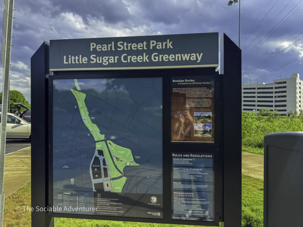
Little Sugar Creek Greenway is one of the most substantial urban trails anywhere in Charlotte, NC — a 19-mile paved greenway that follows the Little Sugar Creek watershed through central Charlotte, with multiple access points along its length, including Pearl Street Park (where we entered the trail on our visit) near Uptown. The greenway extends through some of the city’s most notable neighborhoods, giving both residents and visitors substantial car-free access to Charlotte’s central urban corridor.
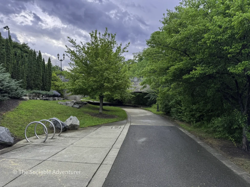
The greenway serves the full range of urban trail users — walkers, joggers, cyclists, and families — with paved surfaces designed for accessibility and family-friendly recreation. Its route connects to Freedom Park, one of Charlotte’s most active large public parks, and integrates with the broader Mecklenburg County Greenway network, which gives the greater Charlotte region one of the more extensive urban trail systems in the American Southeast.
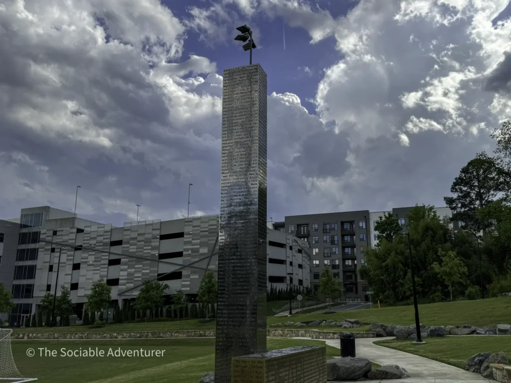
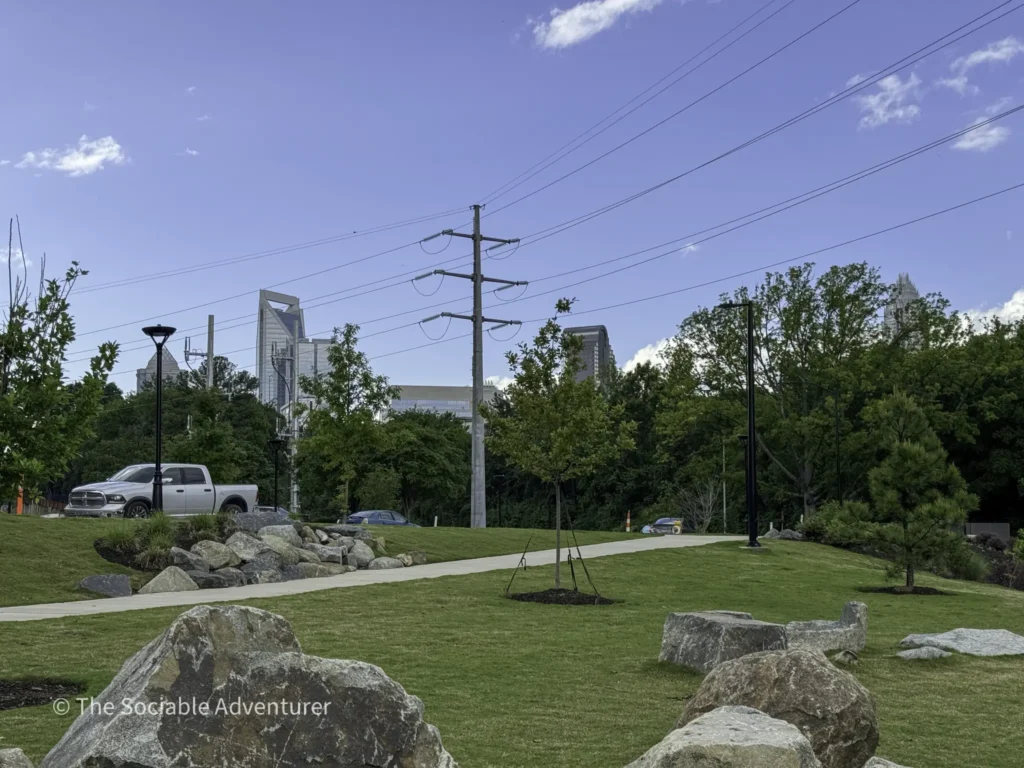
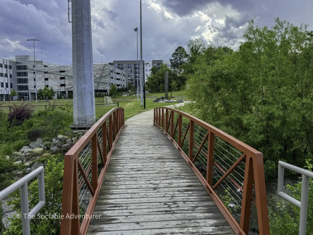
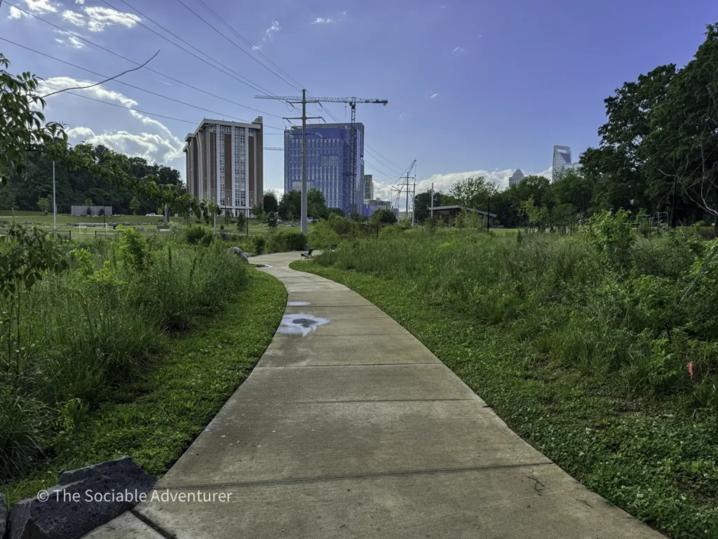
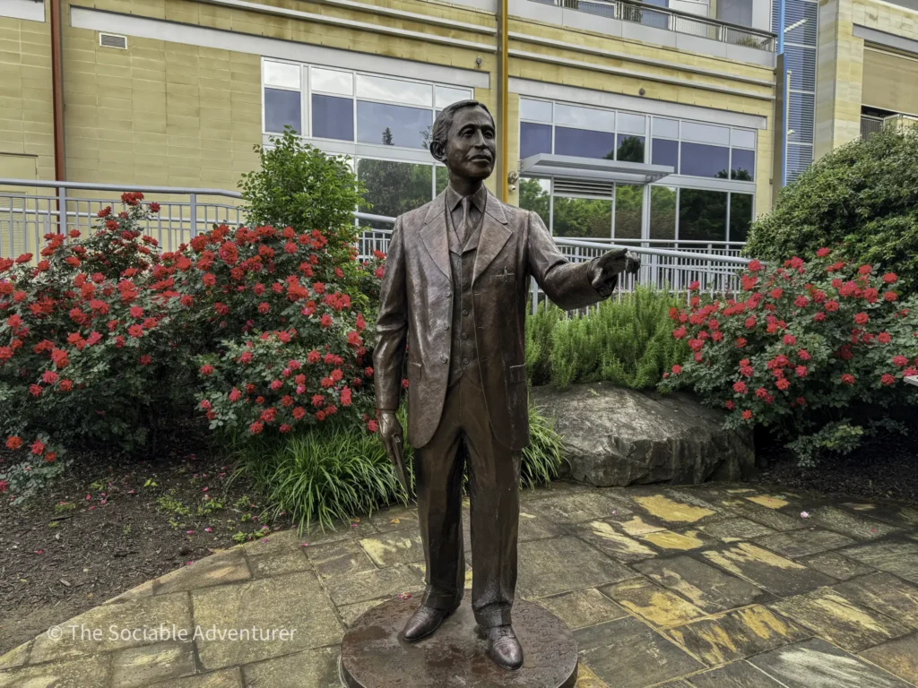
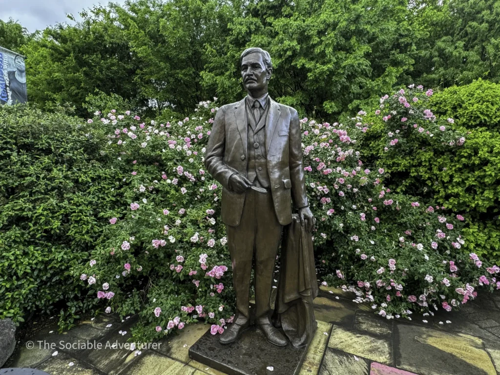
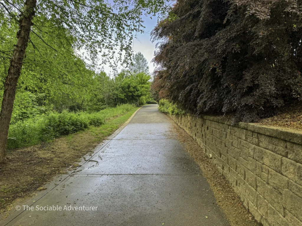
Be sure to check out the YouTube video and pictures below to get a feel for Little Sugar Creek Greenway before you go — or to relive the visit after.
Through Charlotte’s Central Neighborhoods
The greenway’s 19-mile route winds through some of Charlotte’s most historically and culturally distinctive neighborhoods. From access points like Pearl Street Park (where we entered on our own visit) near Uptown, the trail extends through the Elizabeth neighborhood (one of Charlotte’s oldest streetcar suburbs), Dilworth (with its historic architecture and tree-lined streets), Myers Park (Charlotte’s most prestigious historic neighborhood), and further south toward South Park and beyond.
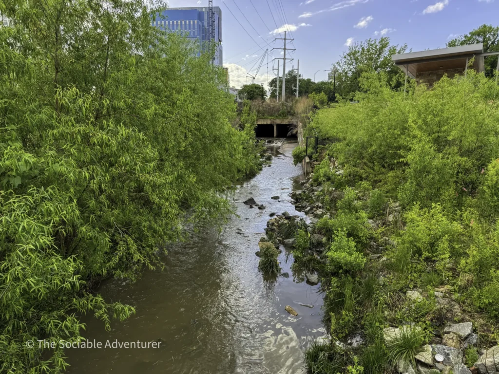
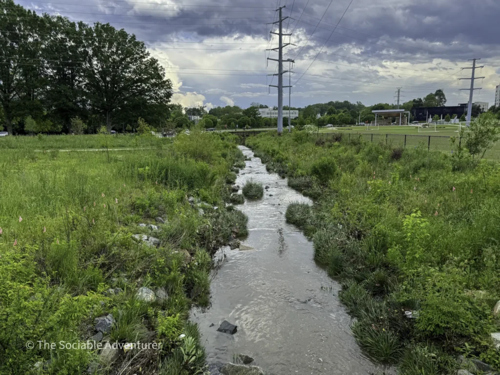
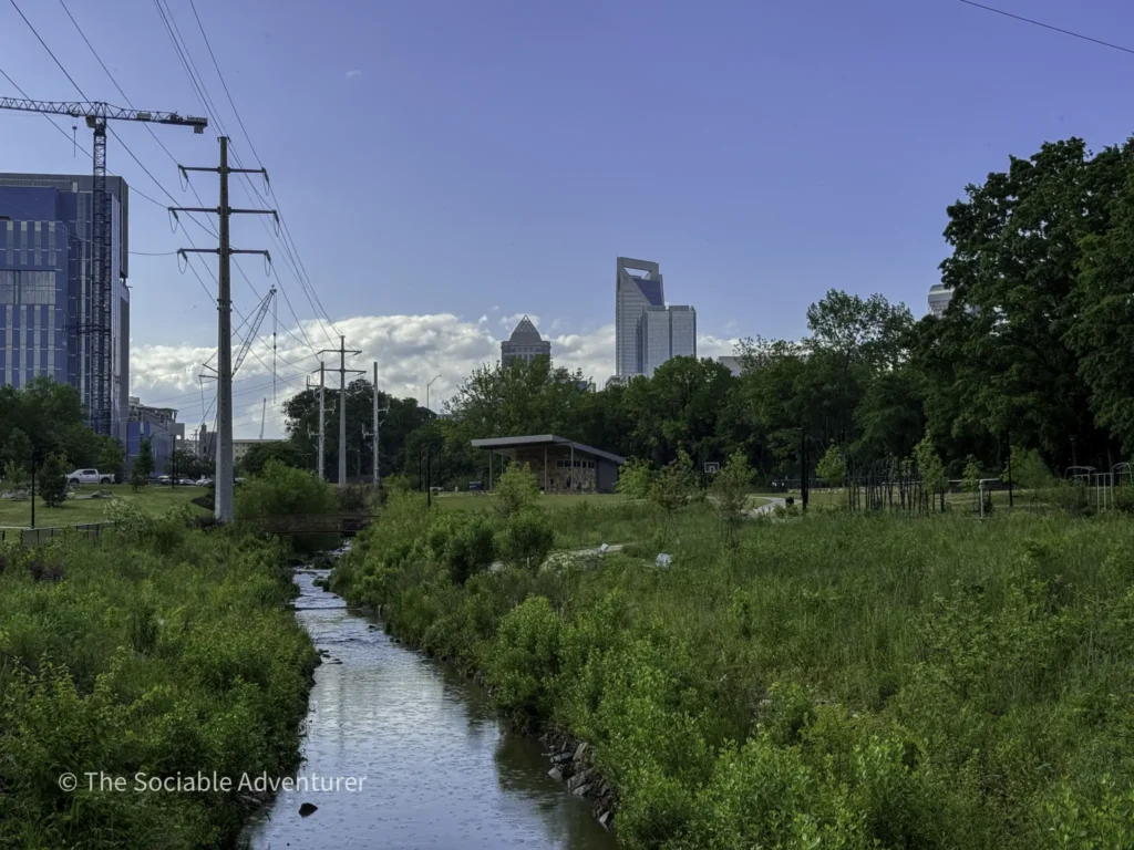
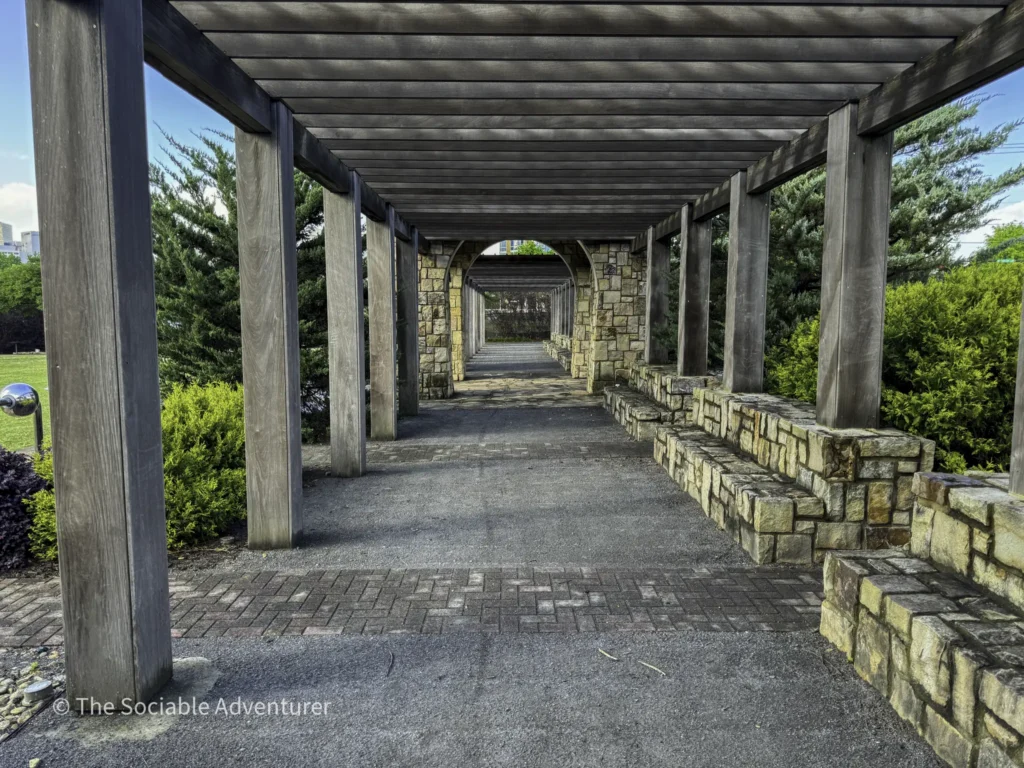
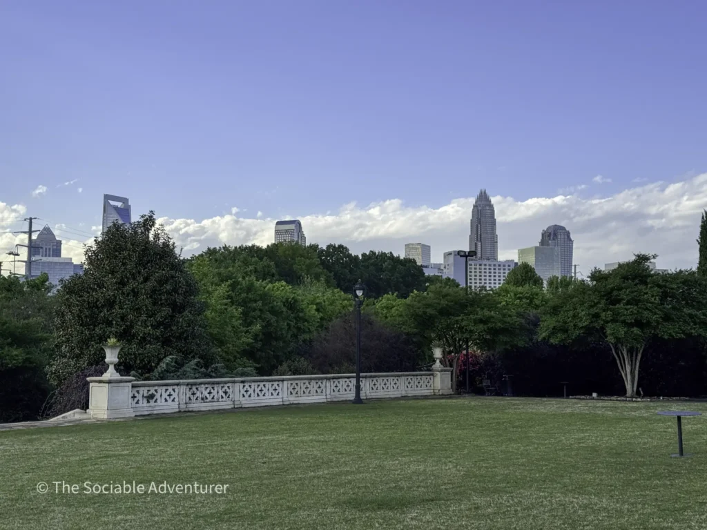
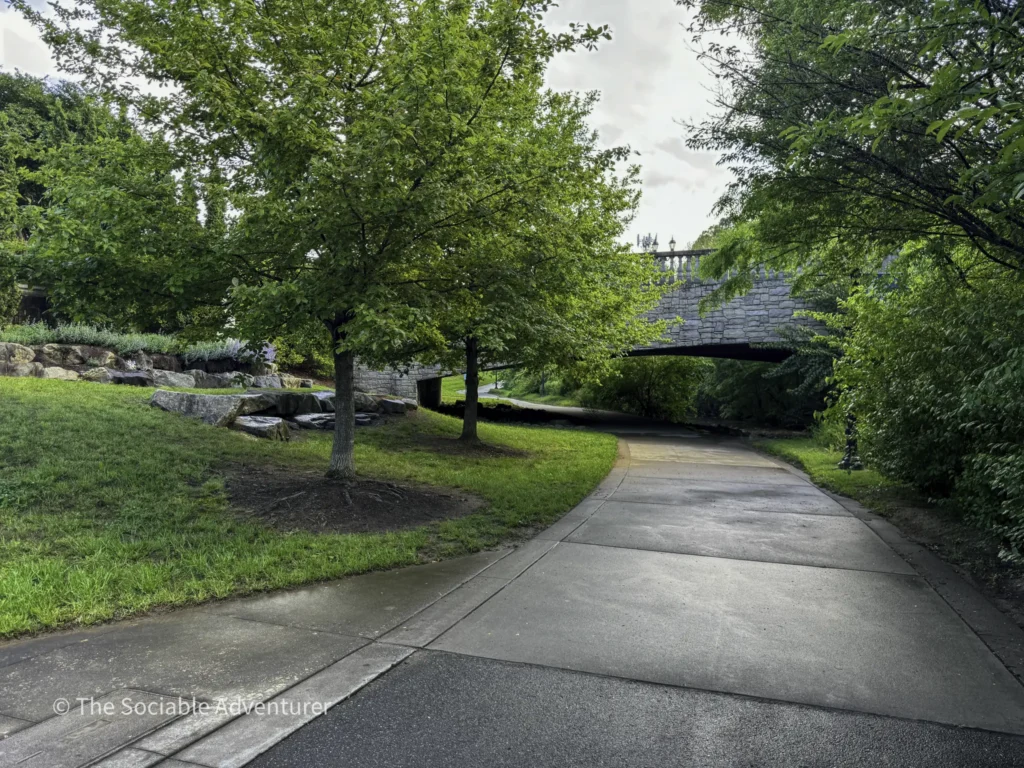
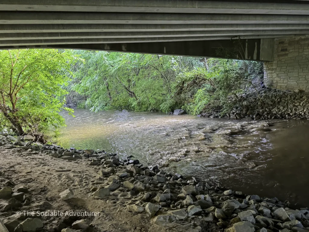
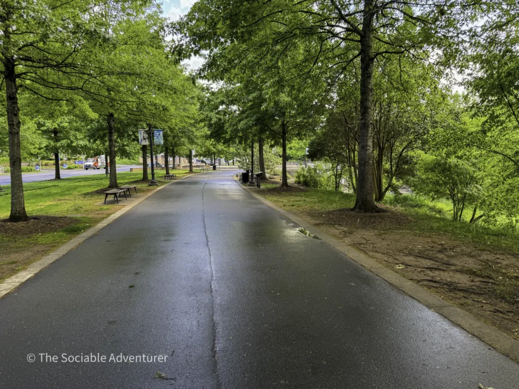
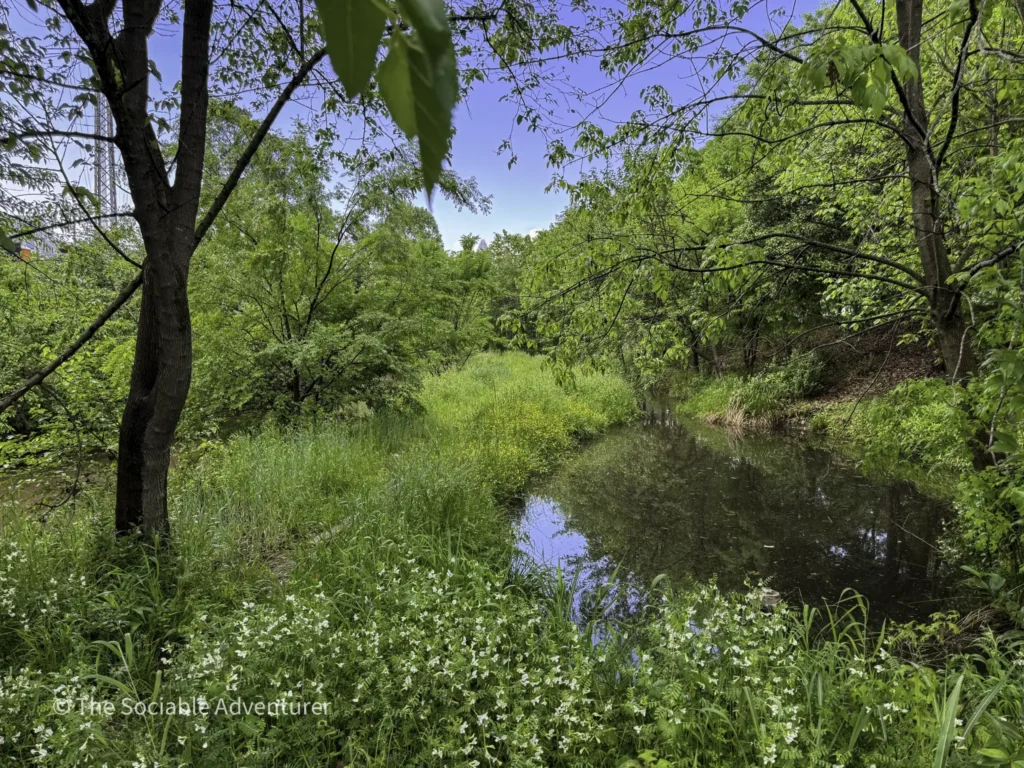
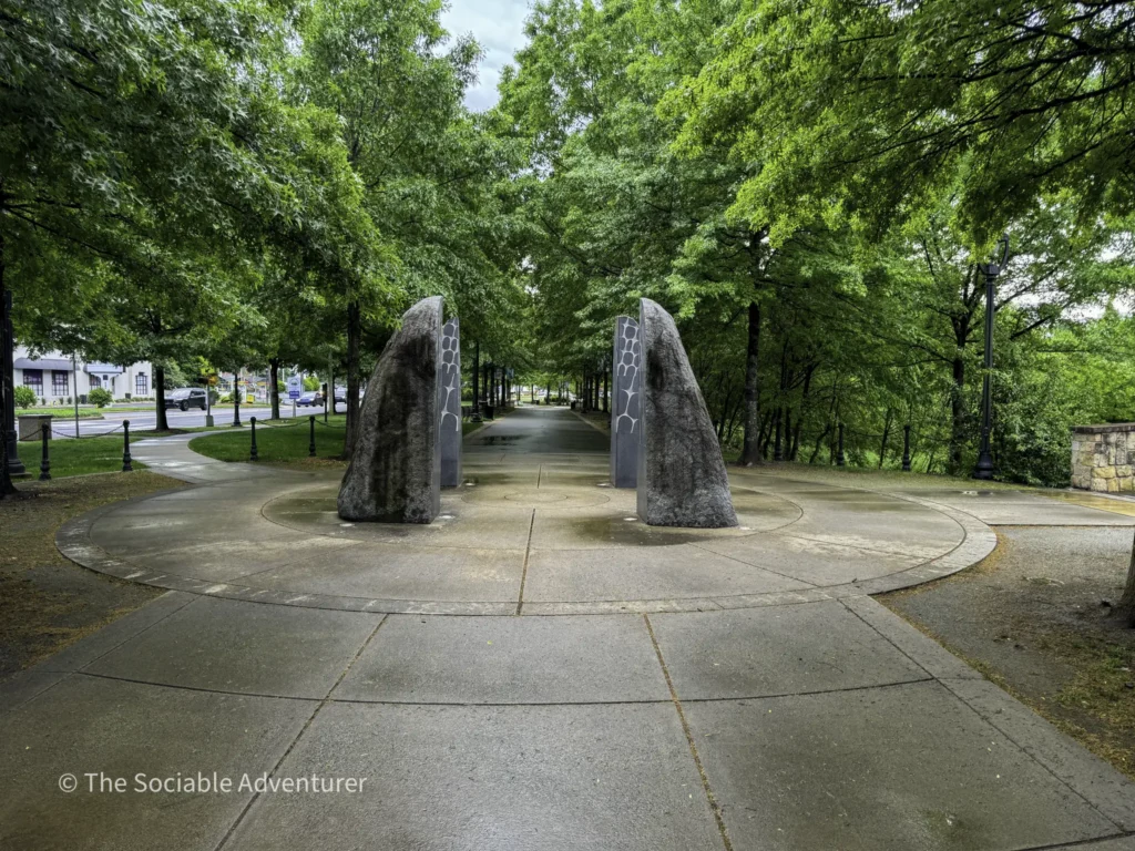
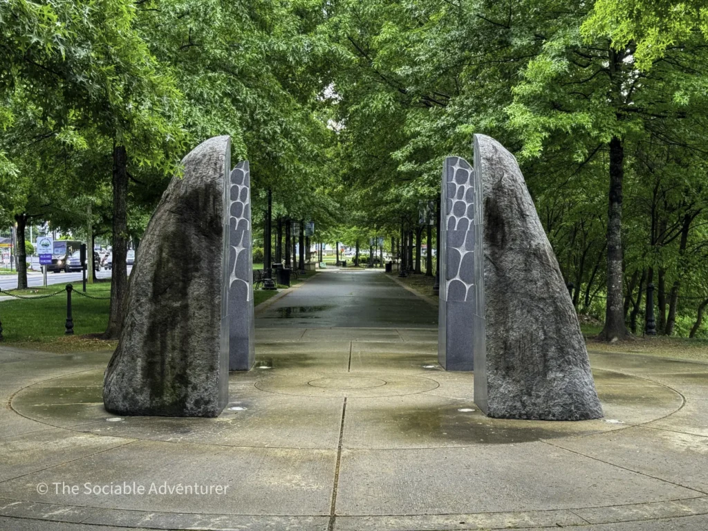
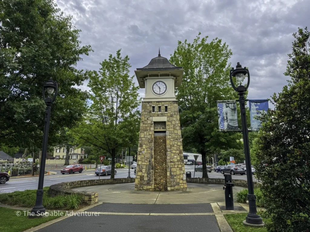
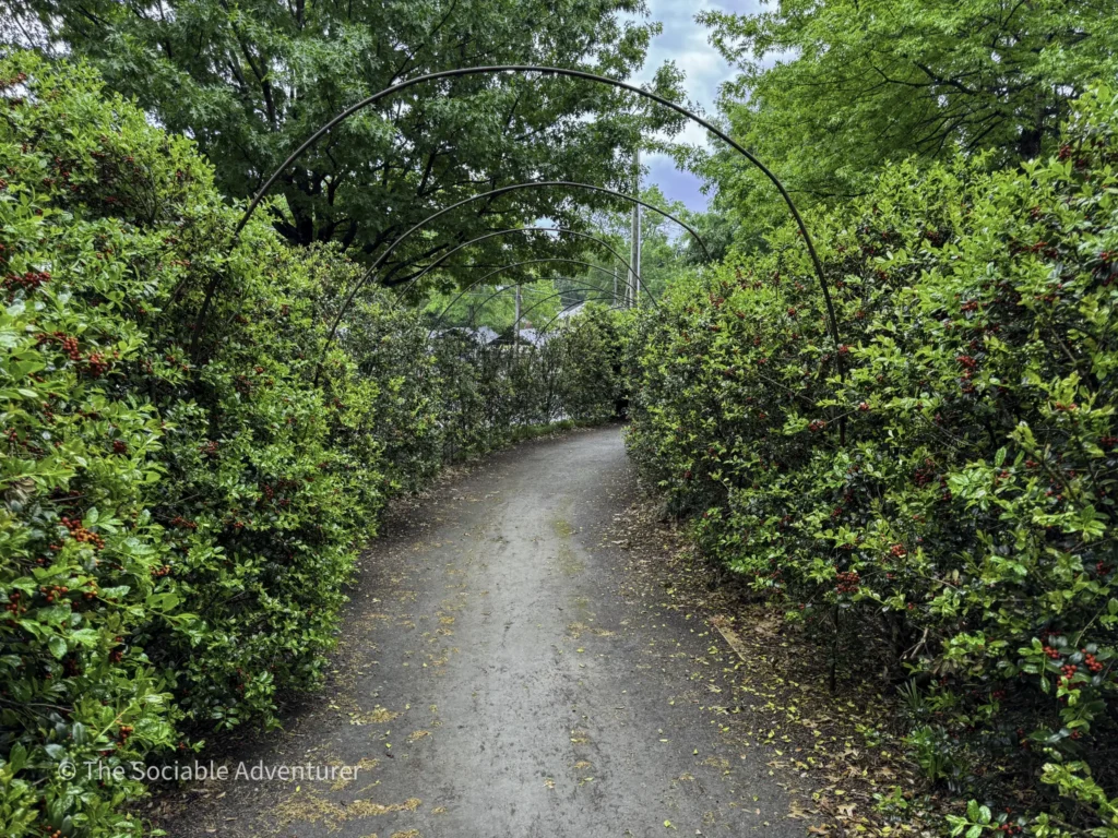
Along the way, the trail passes through varied urban terrain — tree-lined park corridors, open green spaces, restored creek sections, and neighborhood connections that make the greenway function as both recreation infrastructure and neighborhood-to-neighborhood transit. Freedom Park — one of Charlotte’s largest and most active public parks — anchors the middle section of the trail and serves as a natural destination for day-trip walkers and cyclists using the greenway as their access route.
Multi-Use Recreation and the Mecklenburg County Greenway Network
Little Sugar Creek Greenway’s fully paved surfaces support a genuinely broad range of multi-use recreation. Walkers and joggers use the trail for daily exercise and neighborhood connectivity; cyclists rely on it for commuter and recreational riding across the central urban corridor; families with strollers and children benefit from the paved accessibility and the frequent connections to neighborhood parks and green spaces along the route.
The greenway also connects to the broader Mecklenburg County Greenway network — a growing regional system of paved and unpaved trails that gives Charlotte residents and visitors access to significant car-free recreation infrastructure. That integration into the larger network means the Little Sugar Creek Greenway isn’t just a standalone trail; it’s the central artery of the region’s expanding urban trail ecosystem.
Along the route, restaurants, cafes, and coffee shops in Uptown, South End, Dilworth, and other adjacent neighborhoods give trail users natural food and drink stops — making the greenway a genuine platform for spending a full day exploring Charlotte’s neighborhoods on foot or by bike rather than a purely recreational corridor.
Good to Know
- Location: Central Charlotte, NC — extends through central Charlotte neighborhoods
- Length: Approximately 19 miles
- Access: Multiple access points along the length of the trail; we entered at Pearl Street Park near Uptown on our own visit
- Surface: Fully paved
- Neighborhoods along the route: Uptown, Elizabeth, Dilworth, Myers Park, South Park, and beyond
- Notable connection: Freedom Park (one of Charlotte’s largest and most active public parks)
- Network context: Part of the broader Mecklenburg County Greenway system — one of the more substantial urban trail networks in the American Southeast
- Multi-use: Walkers, joggers, cyclists, and families with strollers and children
- Food and drink access: Restaurants, cafes, and coffee shops in Uptown, South End, Dilworth, and adjacent neighborhoods offer natural stopping points along the route
- Best for: Runners and joggers looking for a substantial paved urban route, cyclists doing central Charlotte rides, families with children looking for accessible outdoor recreation, and visitors exploring Charlotte’s central neighborhoods without a car
- Pair with: Uptown museum cluster stops at the Bechtler Museum of Modern Art (Mario Botta-designed Swiss modernist collection), Discovery Place Science (family-friendly hands-on science museum), and Mint Museum – Uptown for a broader Uptown day, plus the historic Mint Museum – Randolph (housed in the original 1837 U.S. Mint building) for a full Charlotte museum experience
A Charlotte Highlight
Little Sugar Creek Greenway is the kind of stop that stays with you for the sheer scope of car-free urban access it provides. In a city better known for its financial industry and rapid growth, finding a 19-mile paved trail that connects central Charlotte’s most historically distinctive neighborhoods gives visitors a genuinely different way to experience the city — one focused on daily neighborhood rhythms and connectivity rather than downtown skyscrapers and highway corridors.
The Mecklenburg County Greenway network integration rounds out the appeal. Between the 19-mile length, the paved multi-use surfaces, the Freedom Park connection, the neighborhood transitions from Uptown through Elizabeth, Dilworth, Myers Park, and South Park, and the accessibility for walkers, joggers, cyclists, and families alike, Little Sugar Creek Greenway has become one of the most consistently rewarding outdoor recreation stops anywhere in the Charlotte region — and a natural anchor for any car-free urban exploration of the city.







Resources
Mecklenburg County Greenway Webpage
Location

Your Complete Guide to Hiking Trails at Elk Knob State Park
Elk Knob State Park is one of North Carolina’s most rewarding mountain destinations — a 4,400-…

A Complete Guide to the Trails at Carolina Beach State Park
Tucked along the Cape Fear River on Pleasure Island, Carolina Beach State Park is one of southeaster…

The Complete Guide to Hiking Trails in Lansing, NC
Set in the rolling hills of Ashe County, just a stone’s throw from the Virginia and Tennessee …

Exploring Ashe County Park: A Hiker’s Guide to North Carolina’s Mountain Gem
If you’re searching for the best hiking trails at Ashe County Park in North Carolina, you̵…

Mountain Masterpieces: A Guide to the Ben Long Frescoes of Ashe County
In the quiet corners of Ashe County, where the Blue Ridge Mountains meet peaceful valleys, thereR…

Granite, Grunts, and Glory: A Day on the Stone Mountain Loop Trail
The Stone Mountain Loop Trail is the signature hike at Stone Mountain State Park in North Carolina —…