Let’s be honest: there’s nothing more disappointing than setting out for a “river hike” only to spend three hours staring at a dense wall of rhododendron (not that we generally mind that). While New River State Park is famous for its ancient, winding waterway, many of its paths keep the star of the show hidden behind a thick canopy of Carolina forest. If you’re tired of the “green tunnel” and ready for those clear water payoffs, you’ve come to the right place. We’ve scouted the switchbacks and tracked the ridgelines to find the specific stretches where the trees part and the oldest river in North America finally takes center stage.
We’ve highlighted each of the trails below where we found the best views of the New River. Before we begin, we’ve also compiled some additional resources about New River State Park that you might find useful. Happy adventuring!
Additional Resources
The Ultimate Guide to Every Hiking Trail at New River State Park
Whispers of the Past: Finding Historic Homesteads Along the New River
Beyond the Riverbanks: Conquering the Riverbend Backcountry Trail
Table of Contents
Elk Shoals Access
Location: 349 Methodist Camp Road, West Jefferson, NC 28694
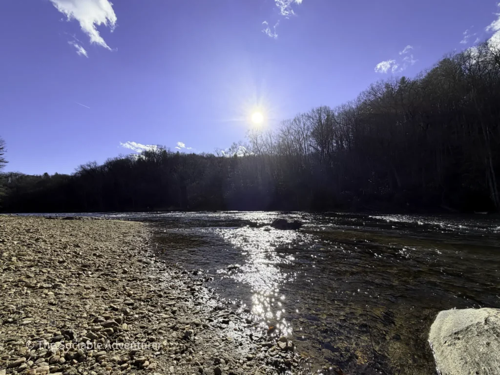
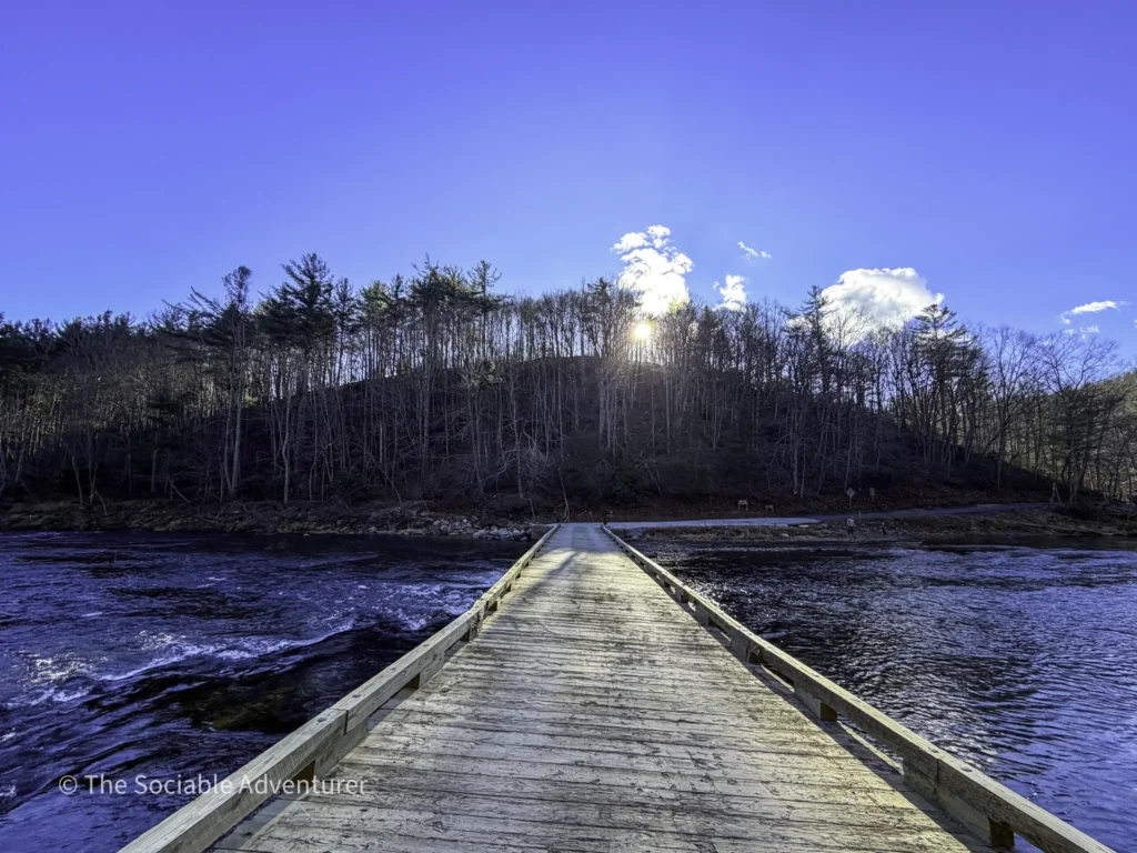
Beach and Bridge
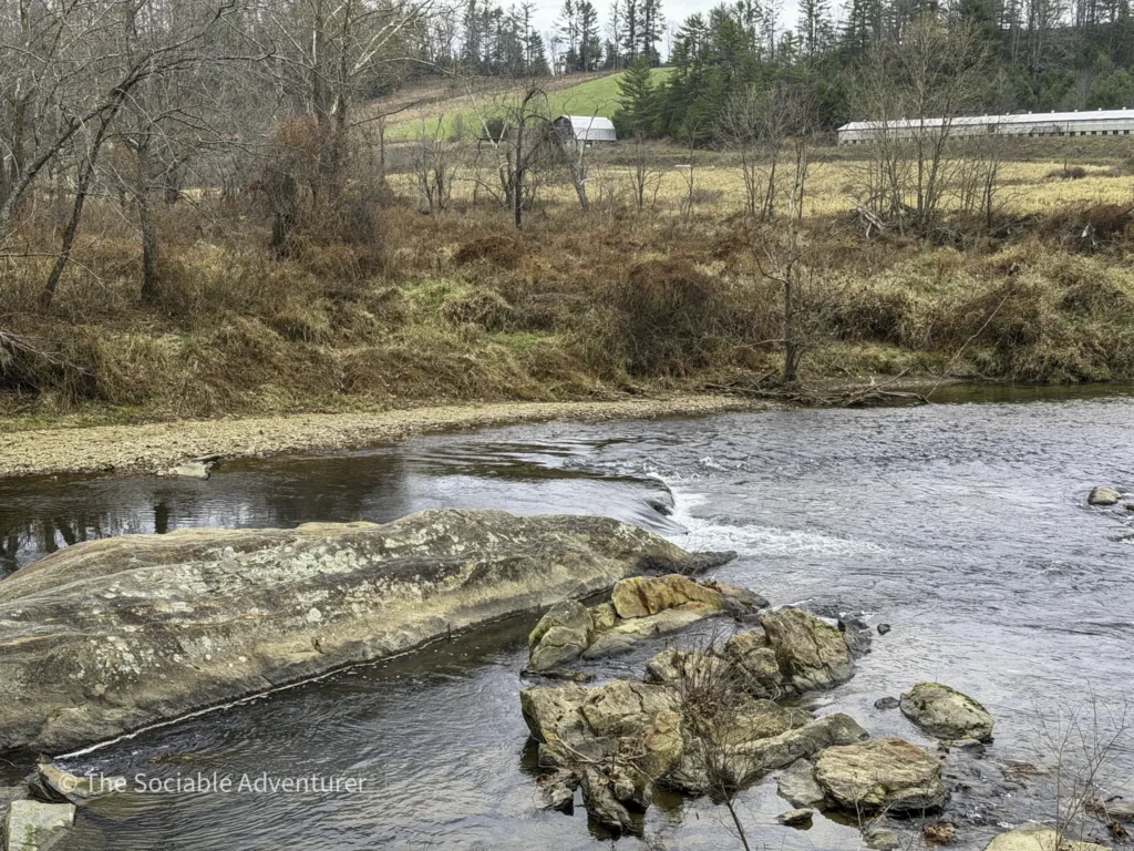
This isn’t technically a trail, but Elk Shoals Beach offers the easiest river-view payoff in the entire park. The sandy and rocky riverbank — a true mountain river beach, not an ocean one — gives you nothing but uninterrupted sightlines of the South Fork of the New River. Just outside the beach area, a single-lane wooden vehicle bridge carries cars into the park and offers another vantage point over the water (use caution if walking on it, since cars share the same surface). For pure water-to-effort ratio, nothing else in the park comes close.

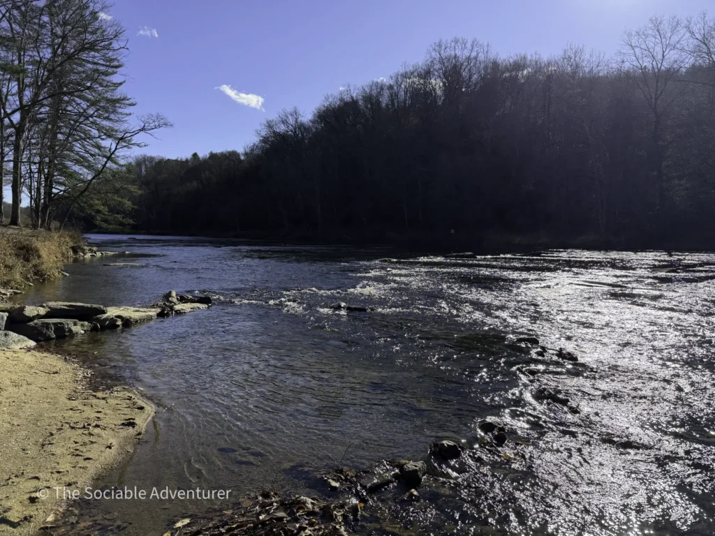
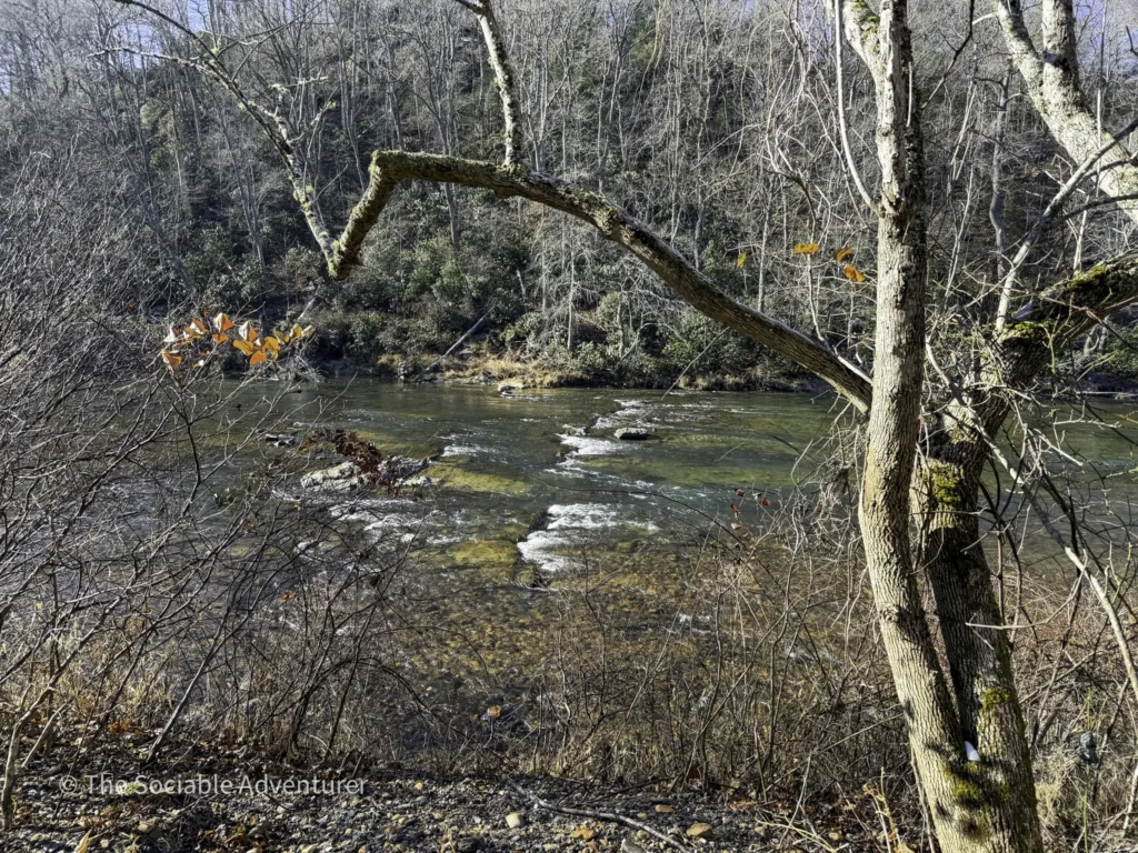
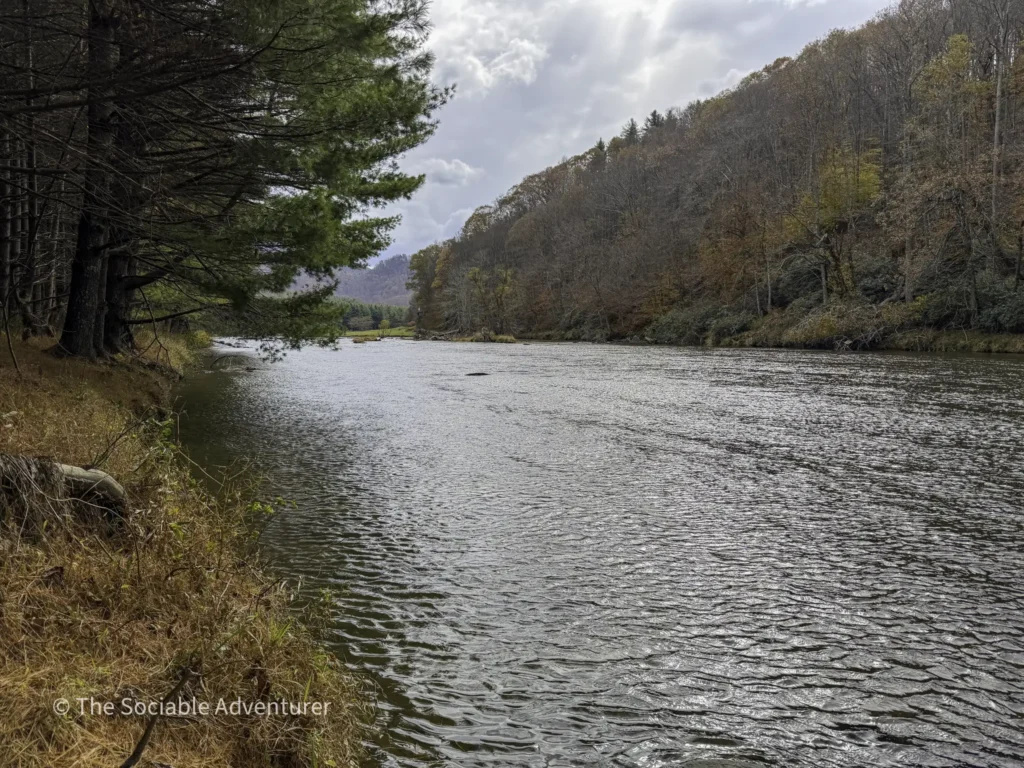
Elk Shoals Trail
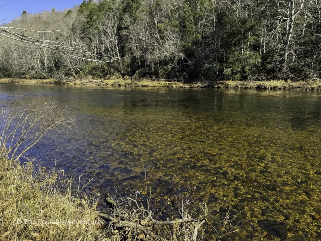
We call it the Elk Shoals Trail since it doesn’t appear by name on the official park map. It starts at a gate near the beach parking area and runs roughly a mile parallel to the South Fork of the New River, so you’ll enjoy continuous water views as you walk. The gravel path is mostly flat and easy, making this the rare “river hike” where the river actually shows up the whole way.
U.S. 221 Access
Location: 358 New River State Park Rd, Laurel Springs, NC 28644
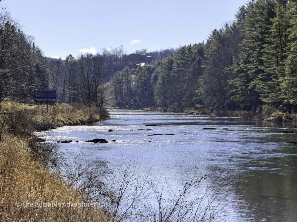
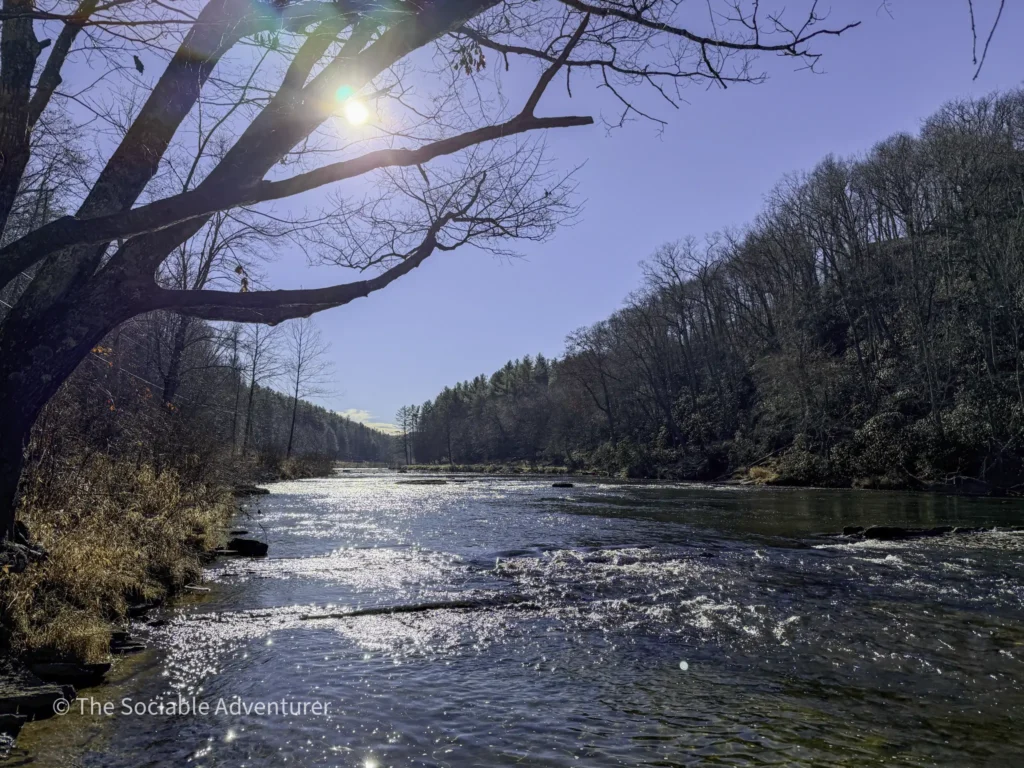
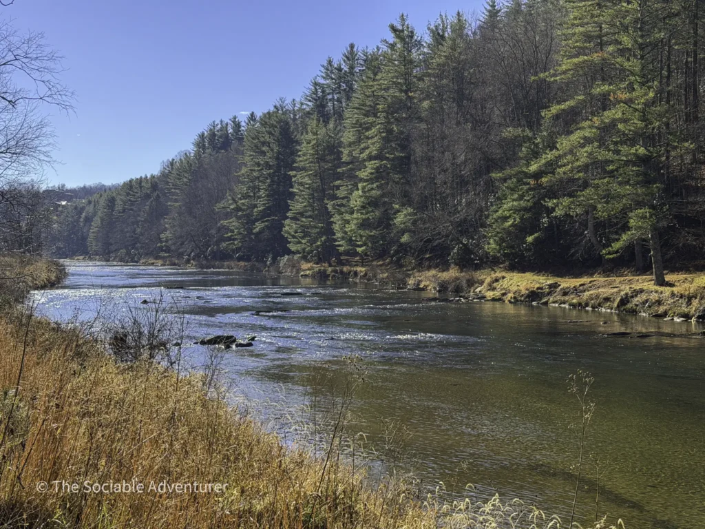
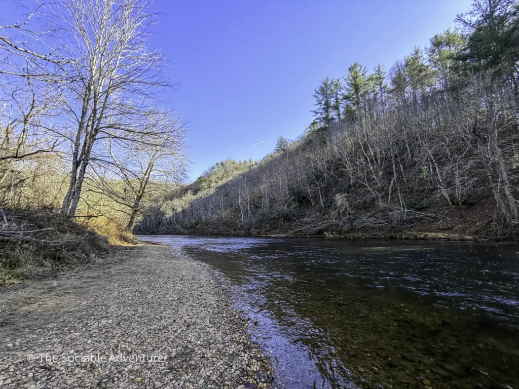
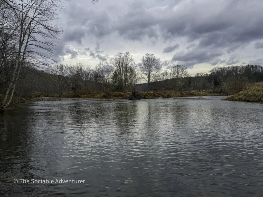
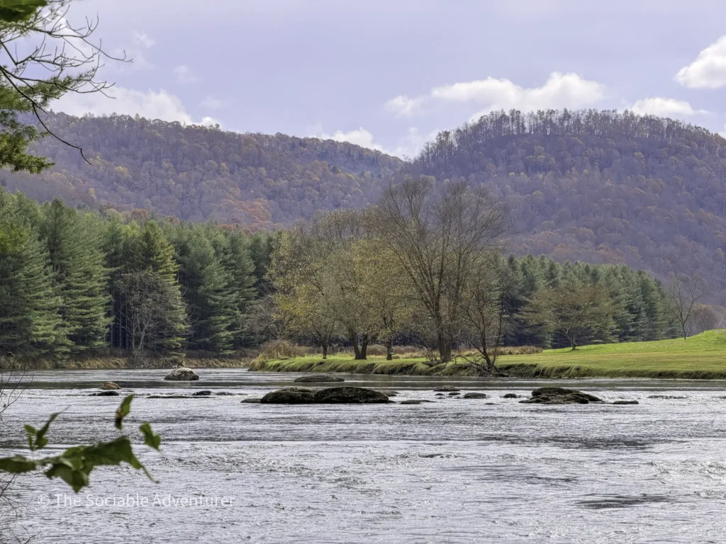
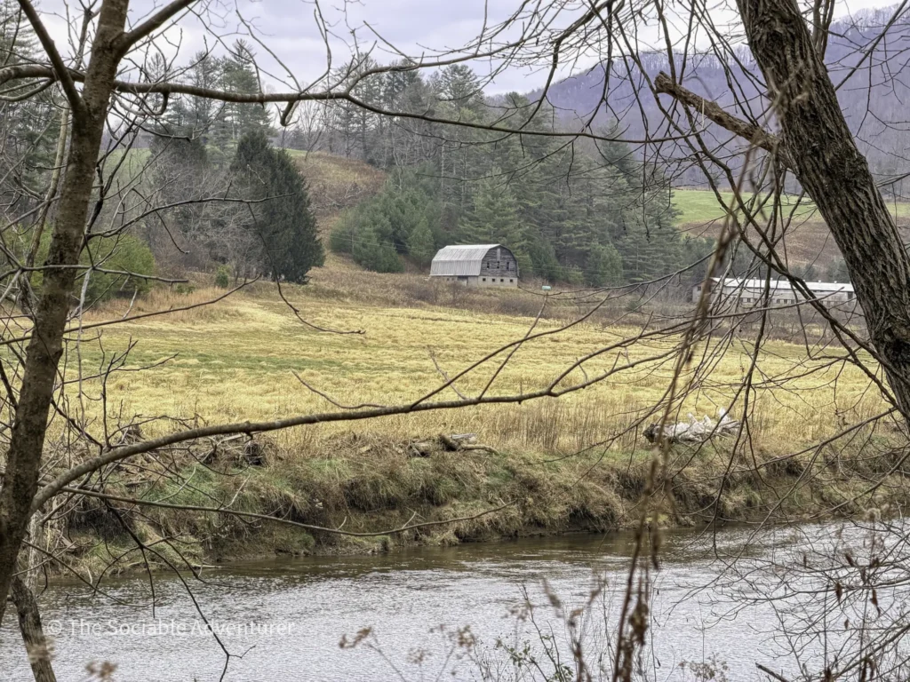
River Run Trail
For about three-quarters of its 1.4-mile run, the River Run Trail follows the New River closely — though for honesty’s sake, the path is separated from the water by a strip of riparian vegetation that stabilizes the riverbank. The good news: several lookout points along the way offer cleaner sightlines through the brush, where the river really shows itself. The trail also brings you near the parking-lot end down to the river’s edge, with a small beach area where you can dip your toes in if it’s warm enough.
Wagoner Access
Location: 1477 Wagoner Access Rd, Jefferson, NC 28640
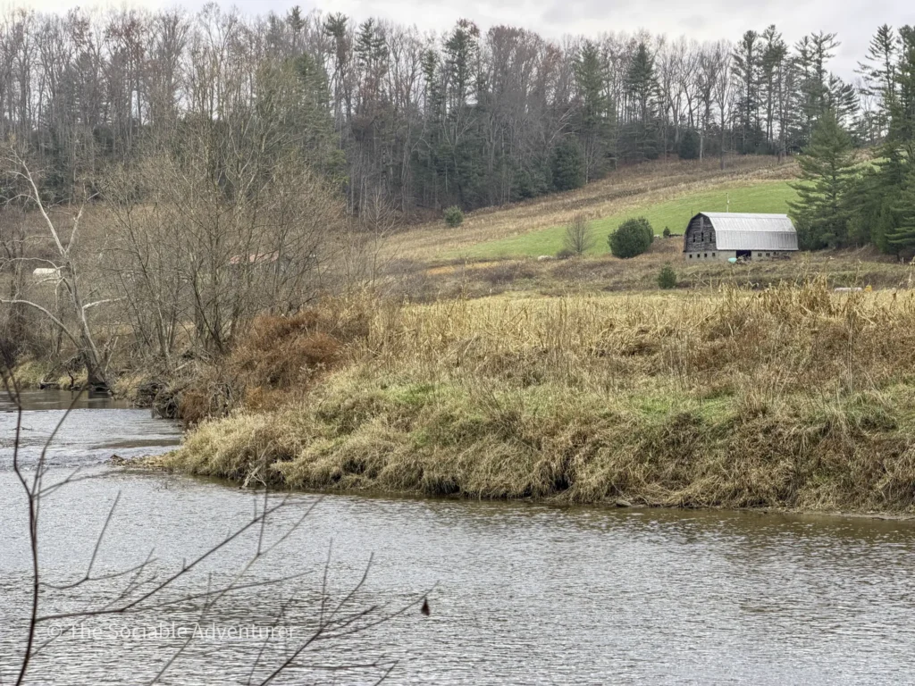
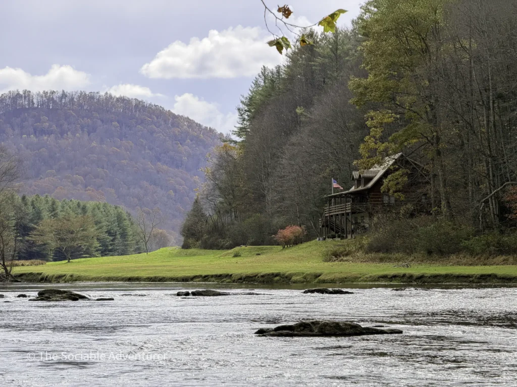
Fern Nature Trail
The Fern Nature Trail is a 1-mile loop that follows the New River for a peaceful stretch before climbing into a shaded, fern-carpeted forest. The river views come early — right after the trailhead — and the path passes near a picnic spot and kayak launch, making it a perfect place to pause, take in the water, and stretch out a quiet morning.
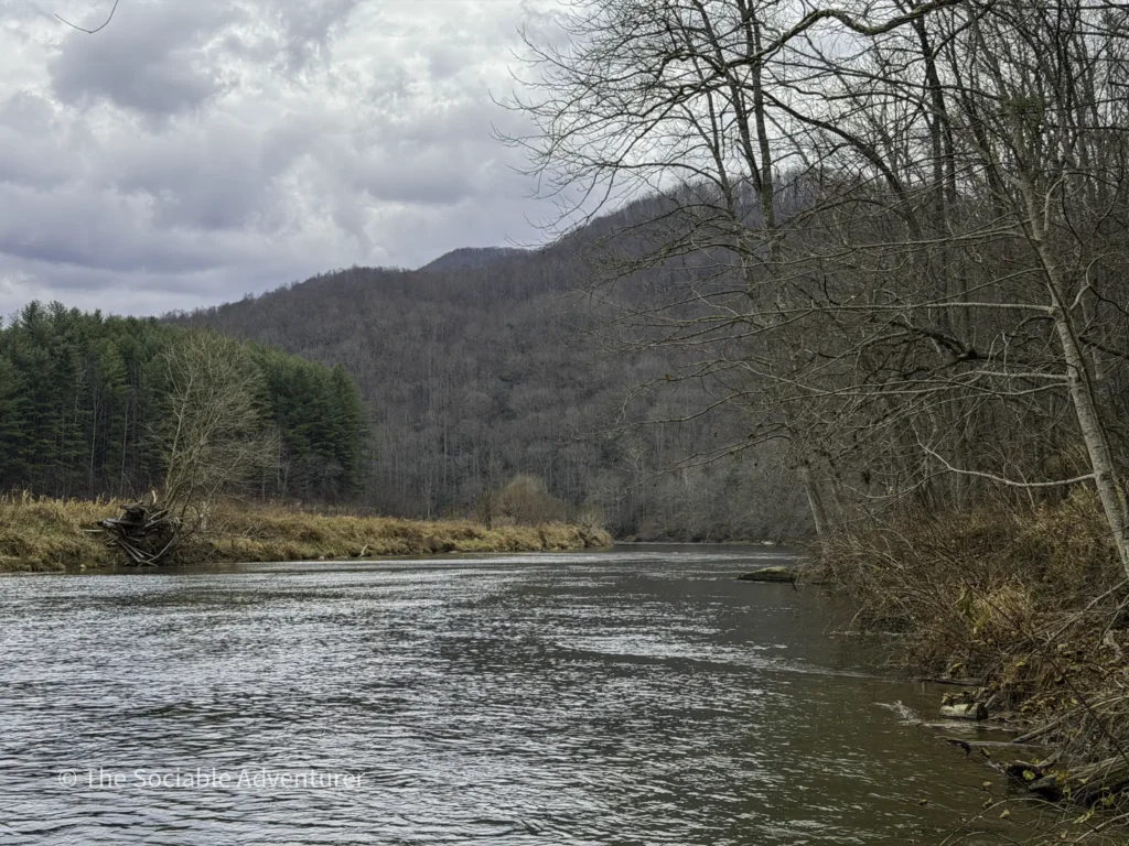
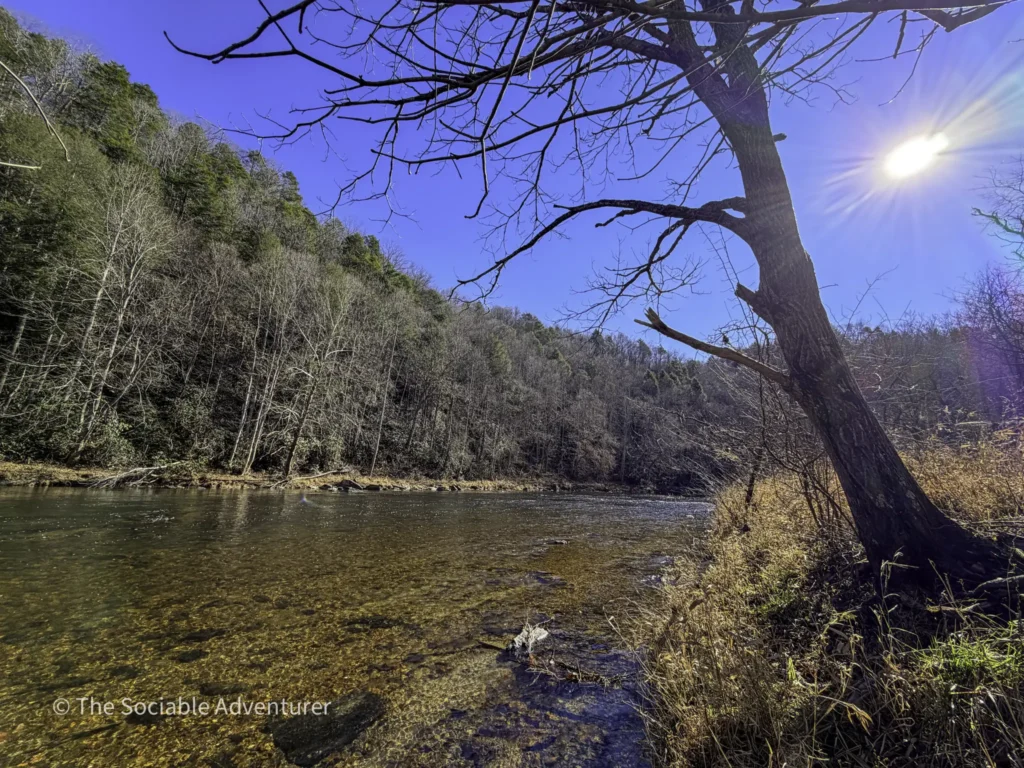
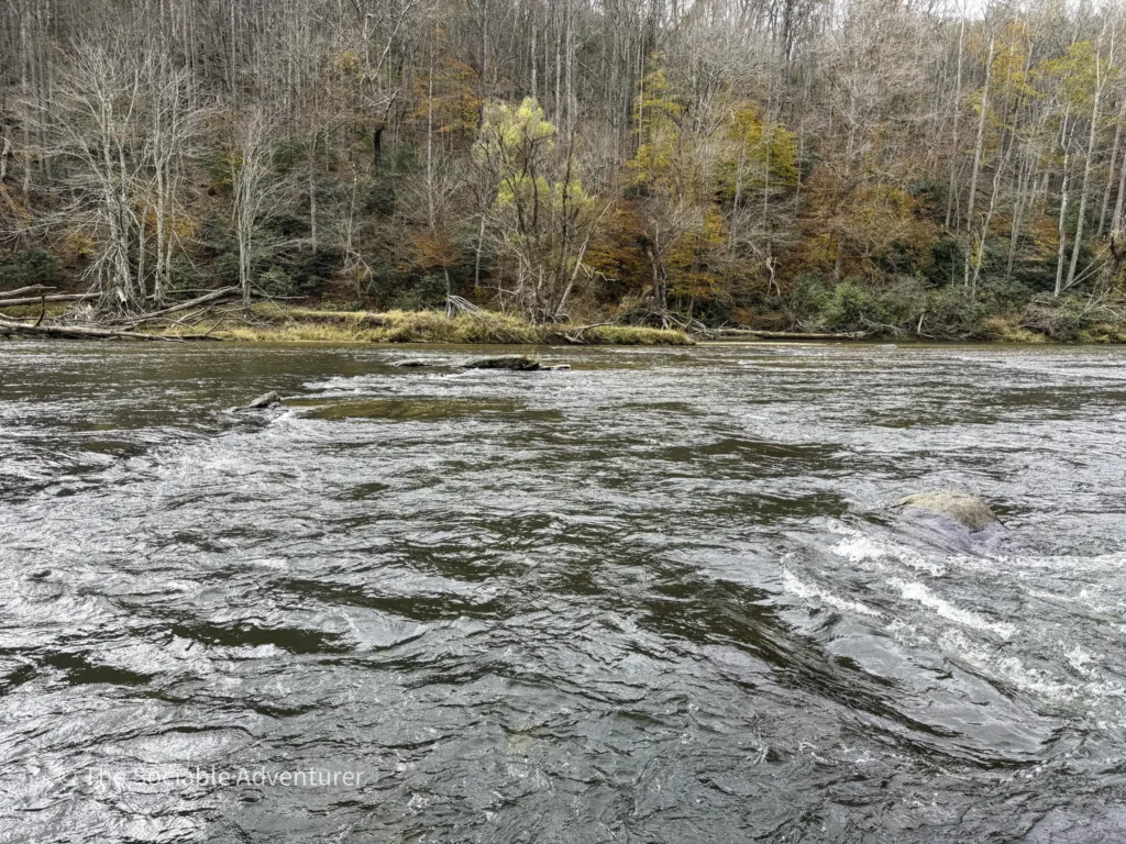
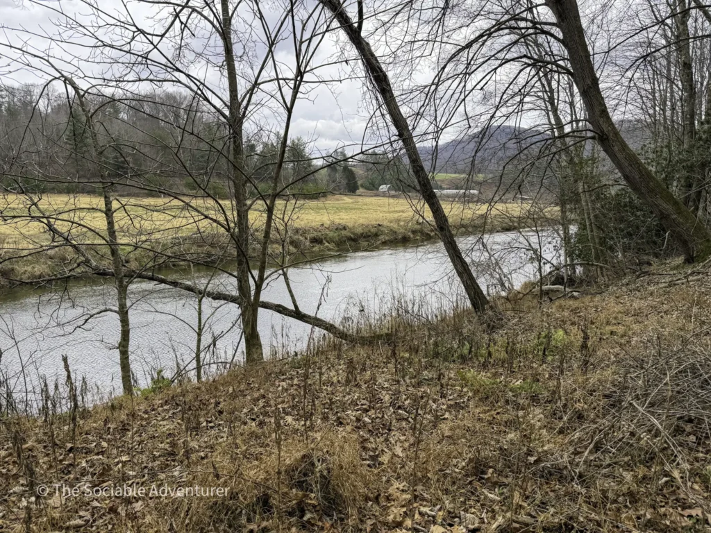
Riverbend Backcountry Trail
The Riverbend Backcountry Trail is the toughest hike in New River State Park — but it pays off with some of the most rewarding river views anywhere in the system. The catch: to see the best scenery, you’ll need to hike nearly the full 3.5 miles one-way, since the prime views come at the far end of the trail near the river. For a deeper look at our experience on this trail — including the climb itself and what surprised us along the way — take a look at Beyond the Riverbanks: Conquering the Riverbend Backcountry Trail.
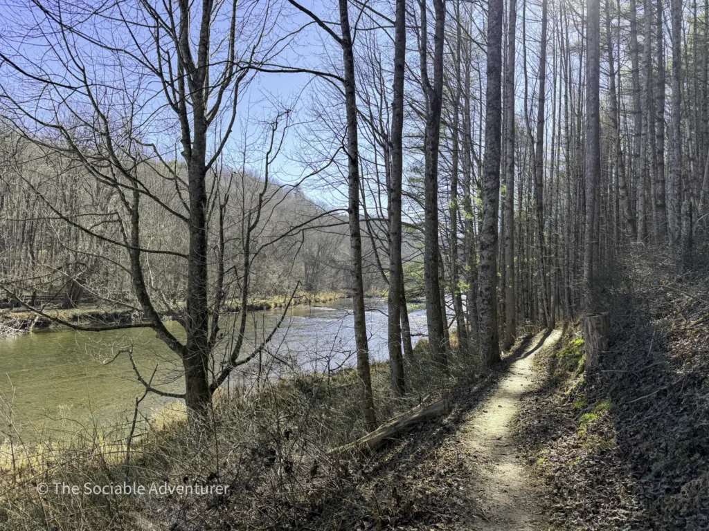
Running Cedar Trail
The Running Cedar Trail starts off close to the New River for a peaceful, scenic stretch before climbing up a hillside into the surrounding forest. So the prime river views come early — and if you want to skip the climb and stick with the views, park at the Wagoner Access lot closest to the river, and you’ll be on the water right away.
Final Thoughts
The New River is one of the oldest rivers in the world, and it deserves to actually show up on the hike it lends its name to. Whether you want the easiest possible water access (head to the Elk Shoals Beach), a long, immersive walk along the South Fork (the Elk Shoals Trail), or a serious backcountry workout with a real payoff at the end (the Riverbend Backcountry Trail), this list should keep the green tunnel at bay.
Pack water, sturdy shoes, layers for the changing weather, and a camera — and don’t forget to pause at the lookouts when you find them. The river has been here for millions of years. It can wait a few extra seconds while you take it in.

Your Complete Guide to Hiking Trails at Elk Knob State Park
Elk Knob State Park is one of North Carolina’s most rewarding mountain destinations — a 4,400-…

A Complete Guide to the Trails at Carolina Beach State Park
Tucked along the Cape Fear River on Pleasure Island, Carolina Beach State Park is one of southeaster…

The Complete Guide to Hiking Trails in Lansing, NC
Set in the rolling hills of Ashe County, just a stone’s throw from the Virginia and Tennessee …

Exploring Ashe County Park: A Hiker’s Guide to North Carolina’s Mountain Gem
If you’re searching for the best hiking trails at Ashe County Park in North Carolina, you̵…

Mountain Masterpieces: A Guide to the Ben Long Frescoes of Ashe County
In the quiet corners of Ashe County, where the Blue Ridge Mountains meet peaceful valleys, thereR…

Granite, Grunts, and Glory: A Day on the Stone Mountain Loop Trail
The Stone Mountain Loop Trail is the signature hike at Stone Mountain State Park in North Carolina —…