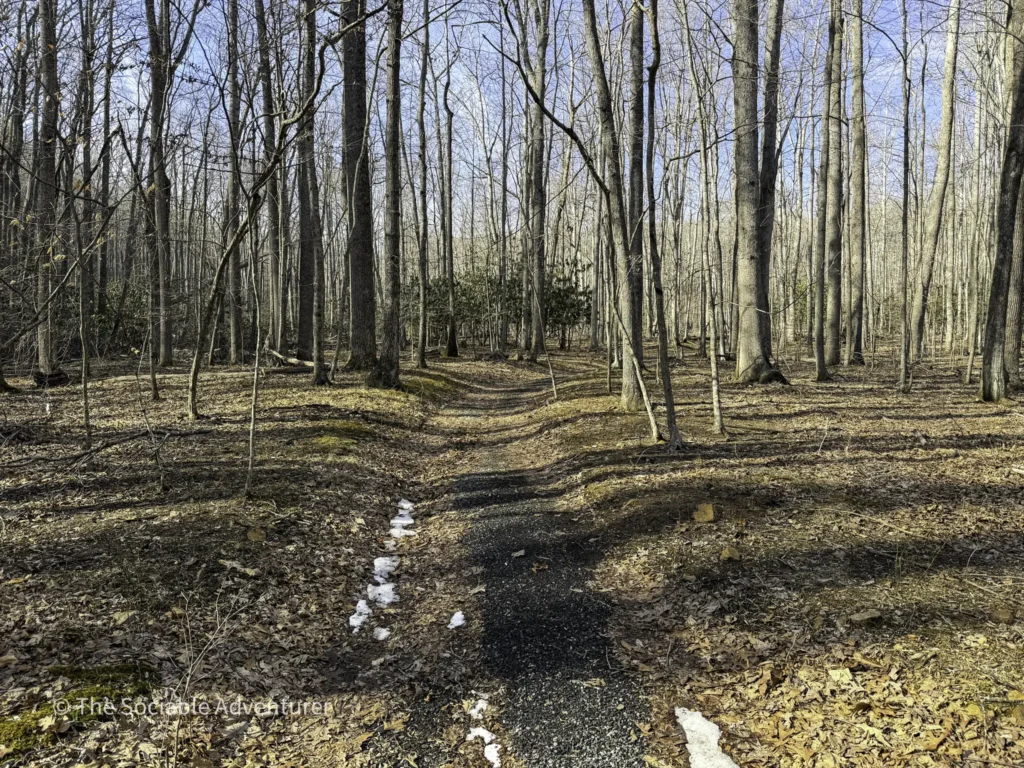
If Trail A is the gateway to Ashe County Park’s expansion area, Trail B is the smart shortcut. At just 0.15 miles long, this short, flat gravel connector links two sections of Trail A and offers the most direct path to Trail C without having to walk back down the gravel road to the parking lot. It’s a small but useful piece of the park’s trail network — and a great way to customize your hike to your own pace and goals. Be sure to check out the YouTube video and pictures below to get a feel for the trail before you go — or to relive the visit after.
Getting to the Trailhead
Trail B is located within Ashe County Park’s expansion area, which has its own dedicated entrance just next to the main park entrance. After turning in, a short gravel road leads to a parking lot beside the playground and covered picnic area. A trail map posted near the path to the picnic area shows all three of the park’s main hiking trails — Trails A, B, and C — making it easy to plan your route before you head out.
Trail B itself is only accessible from Trail A, so you’ll need to start there before reaching the Trail B junction.
What to Expect on the Trail
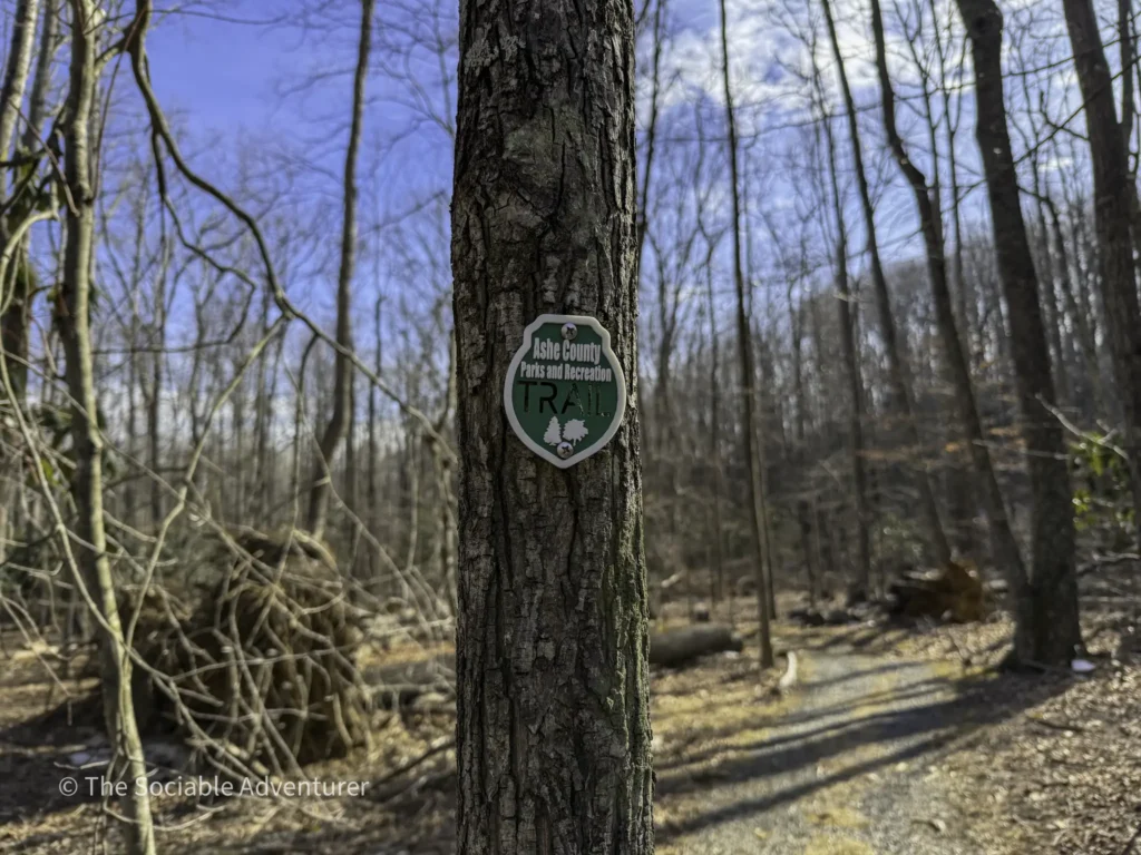
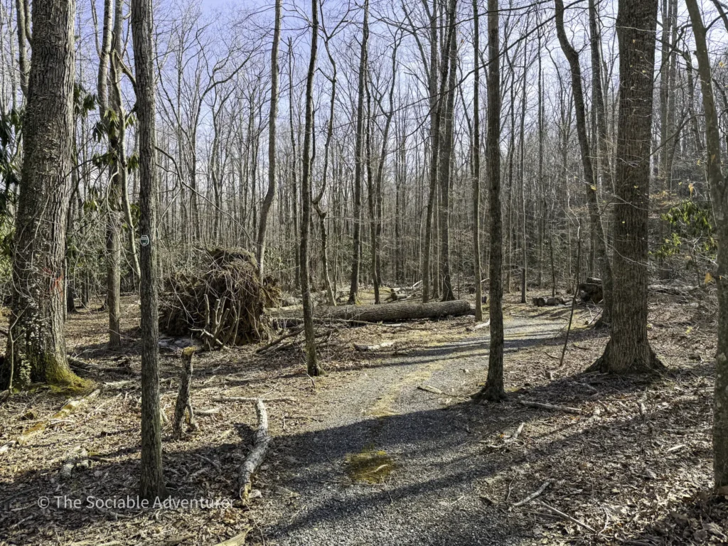
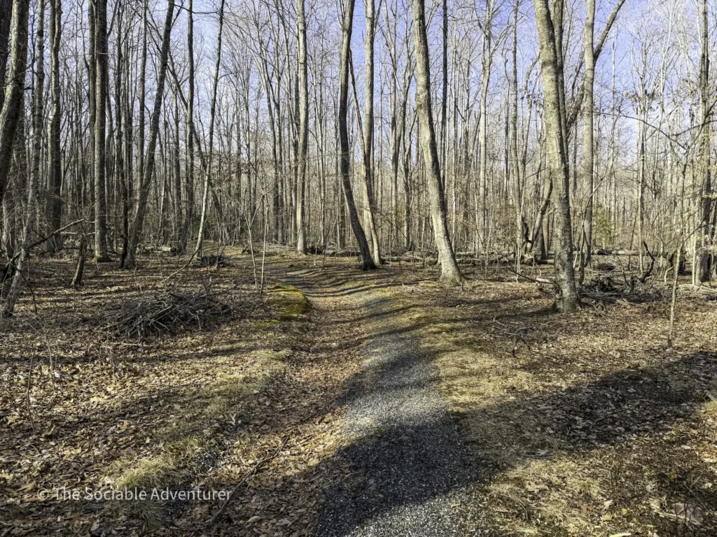
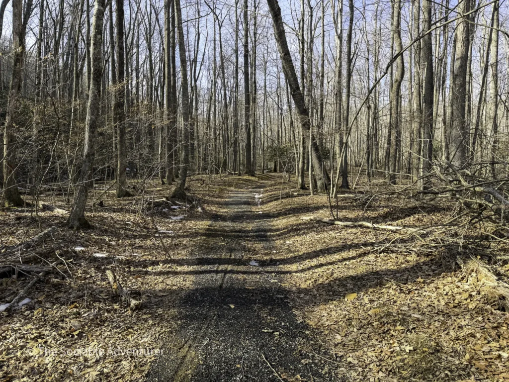
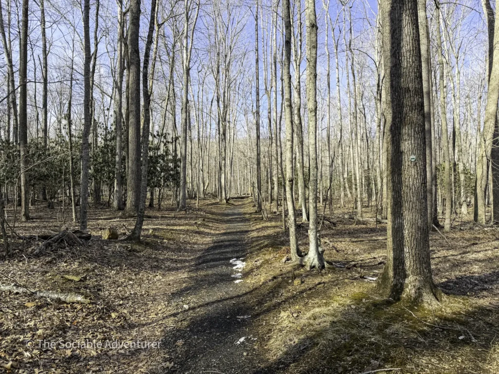
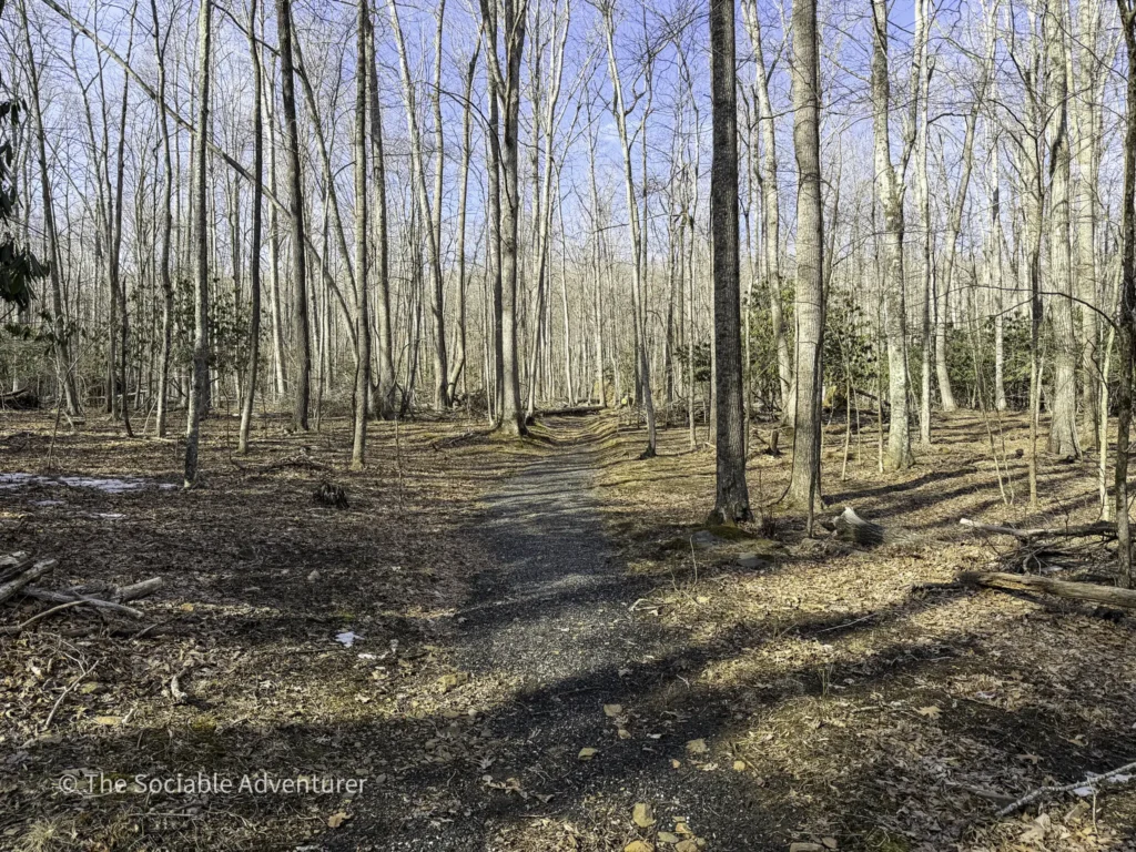
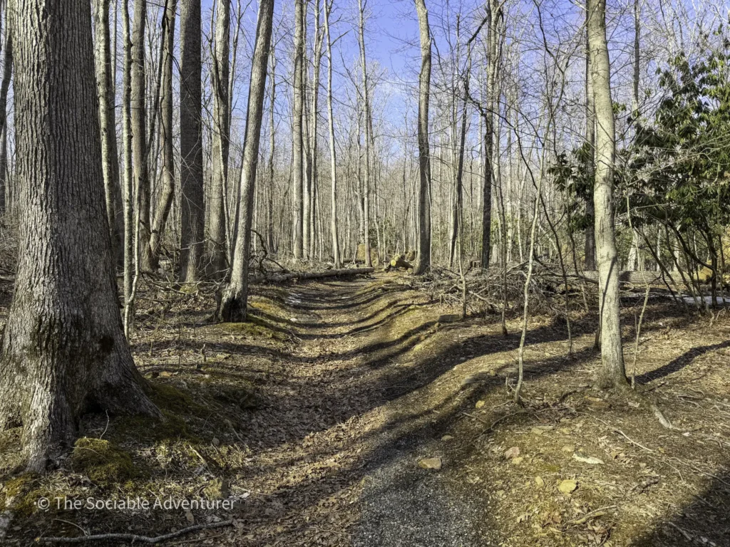
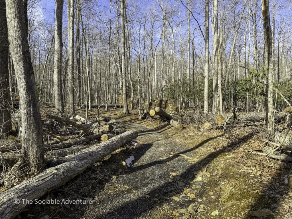
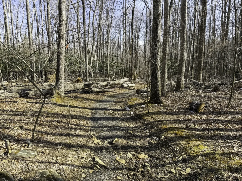
Trail B is marked with green blazes and runs just 0.15 miles end-to-end. The path is gravel for its entire length and almost completely flat, making it the easiest section of the park’s trail network to walk. It serves as a connector between two parts of Trail A — and more usefully, as a shortcut to Trail C without retracing your steps or walking the gravel road back to the parking lot.
For visitors looking to hit Trail C without doing the full out-and-back on Trail A, this is the most efficient way to do it.
Good to Know
- Trail length: 0.15 miles end-to-end
- Difficulty: Easy — short and almost completely flat
- Surface: Gravel
- Markers: Green blazes
- Access: Only reachable from Trail A
- Best use: As a shortcut to Trail C, or to customize your route through the trail network
- Family- and dog-friendly — leashed dogs are welcome
A Smart Piece of the Trail Network
Trail B isn’t a destination on its own — and it doesn’t need to be. What it does well is give visitors flexibility, making it easier to design a hike that fits the day. Whether you’re cutting over to Trail C for a longer adventure or just looking for the shortest path back, Trail B does its job quietly and well. Pair it with Trails A and C for a full exploration of the park’s expansion area.
Resources
Location

Your Complete Guide to Hiking Trails at Elk Knob State Park
Elk Knob State Park is one of North Carolina’s most rewarding mountain destinations — a 4,400-…

A Complete Guide to the Trails at Carolina Beach State Park
Tucked along the Cape Fear River on Pleasure Island, Carolina Beach State Park is one of southeaster…

The Complete Guide to Hiking Trails in Lansing, NC
Set in the rolling hills of Ashe County, just a stone’s throw from the Virginia and Tennessee …

Exploring Ashe County Park: A Hiker’s Guide to North Carolina’s Mountain Gem
If you’re searching for the best hiking trails at Ashe County Park in North Carolina, you̵…

Mountain Masterpieces: A Guide to the Ben Long Frescoes of Ashe County
In the quiet corners of Ashe County, where the Blue Ridge Mountains meet peaceful valleys, thereR…

Granite, Grunts, and Glory: A Day on the Stone Mountain Loop Trail
The Stone Mountain Loop Trail is the signature hike at Stone Mountain State Park in North Carolina —…