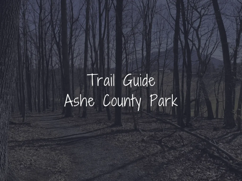
If you’re looking for the most rewarding hike at Ashe County Park, Trail C is it. This 1.04-mile loop is the longest and most varied of the park’s three main trails, winding through hardwood forest, past a patch of native rhododendron, and around a small creek with a midpoint bridge that lets you customize the length of your hike. With moderate elevation changes and good chances of spotting wildlife along the way, it’s a hike that gives you a real sense of the High Country in under a mile and a half. Be sure to check out the YouTube video and pictures below to get a feel for the trail before you go — or to relive the visit after.
Getting to the Trailhead
Trail C is located within Ashe County Park’s expansion area, which has its own dedicated entrance just next to the main park entrance. After turning in, a short gravel road leads to a parking lot beside the playground and covered picnic area. A trail map posted near the path to the picnic area shows all three of the park’s main hiking trails — Trails A, B, and C — making it easy to plan your route before you head out.
Trail C is only accessible by hiking part of Trail A first. From there, you have two ways to reach it:
- Hike Trail A directly to the Trail C trailhead. A straightforward approach that lets you experience all of Trail A on the way in.
- Take Trail B as a shortcut, then rejoin Trail A. A more efficient route that saves you some of the walking on Trail A on your way out.
What to Expect on the Trail
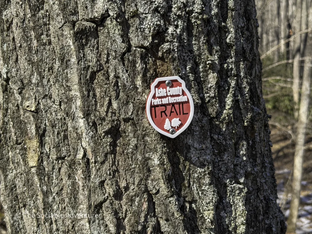
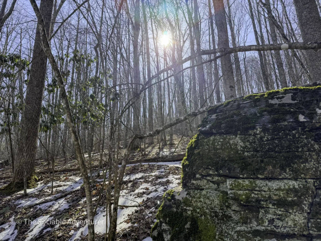
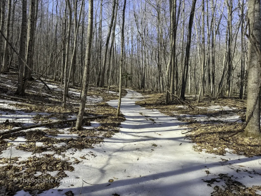
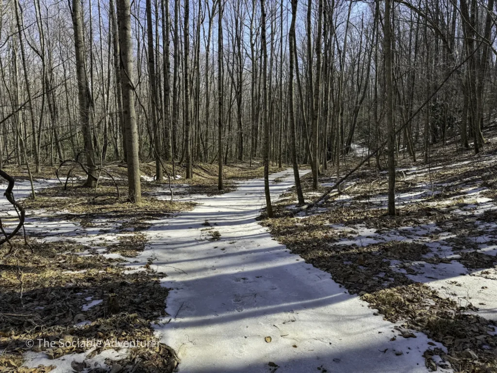
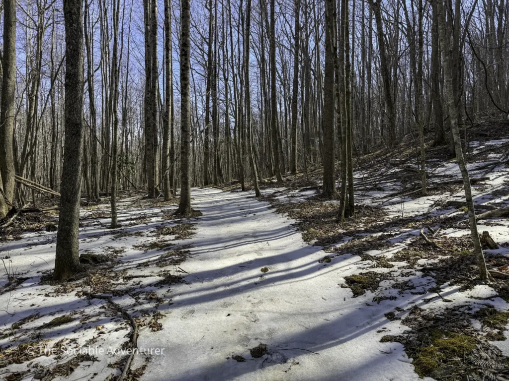
Trail C is marked with red blazes and runs 1.04 miles as a full loop. The path mixes gravel and natural surface, with rolling elevation changes throughout that make it a moderate but still very approachable hike. It’s the most varied trail in the network — the kind of walk where you can really settle into the rhythm of being in the woods.
A few highlights worth knowing about:
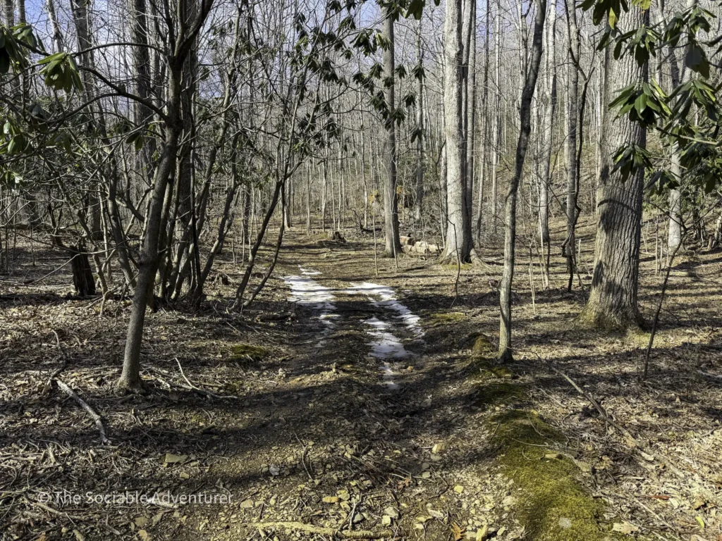
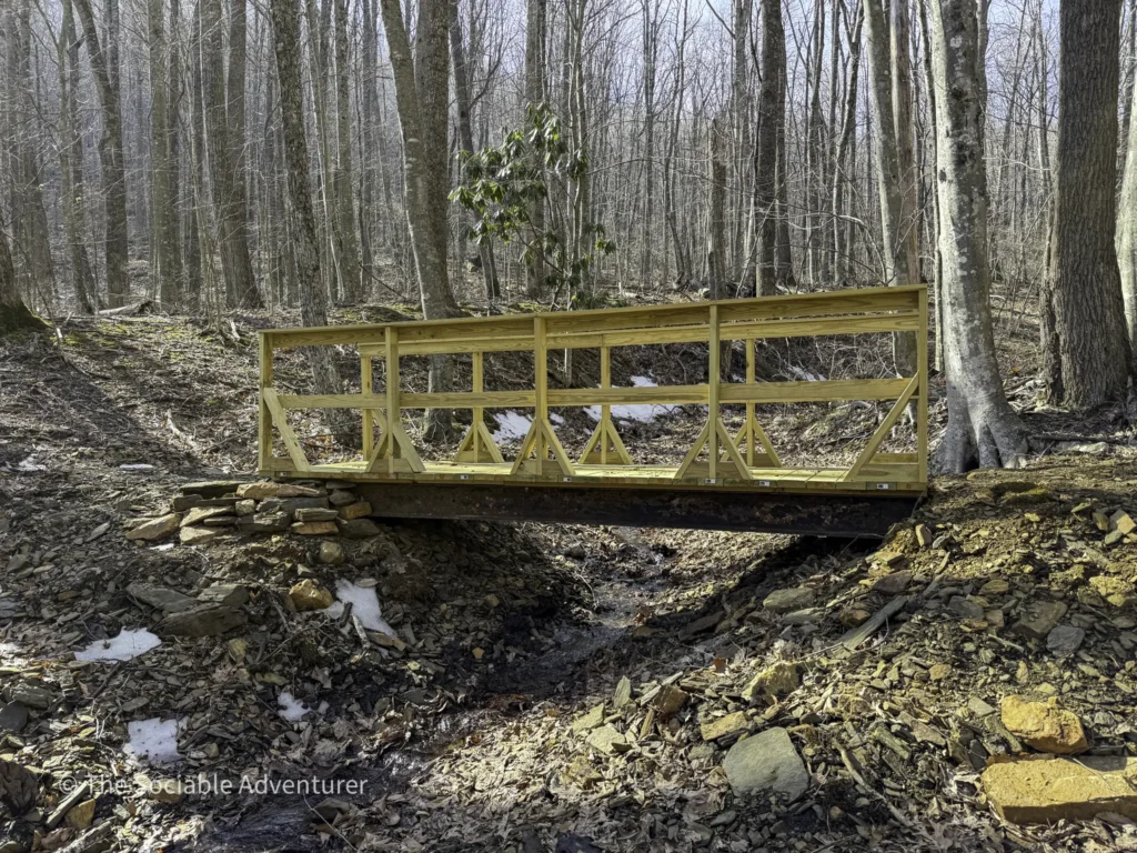
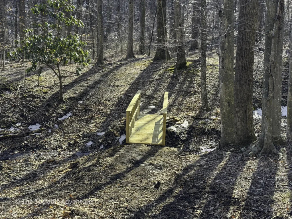
- A small creek runs through the loop, with a wooden bridge near the midpoint. The bridge lets you cross to the other side of the loop without hiking the full distance, giving you a great built-in option to shorten the hike if you want.
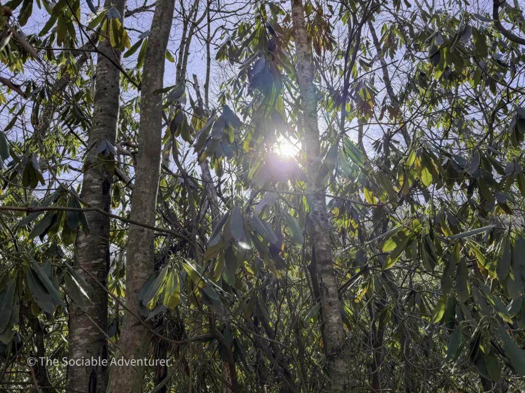
- A patch of native rhododendron lines one side of the loop — particularly beautiful in late spring and early summer when they’re in bloom.
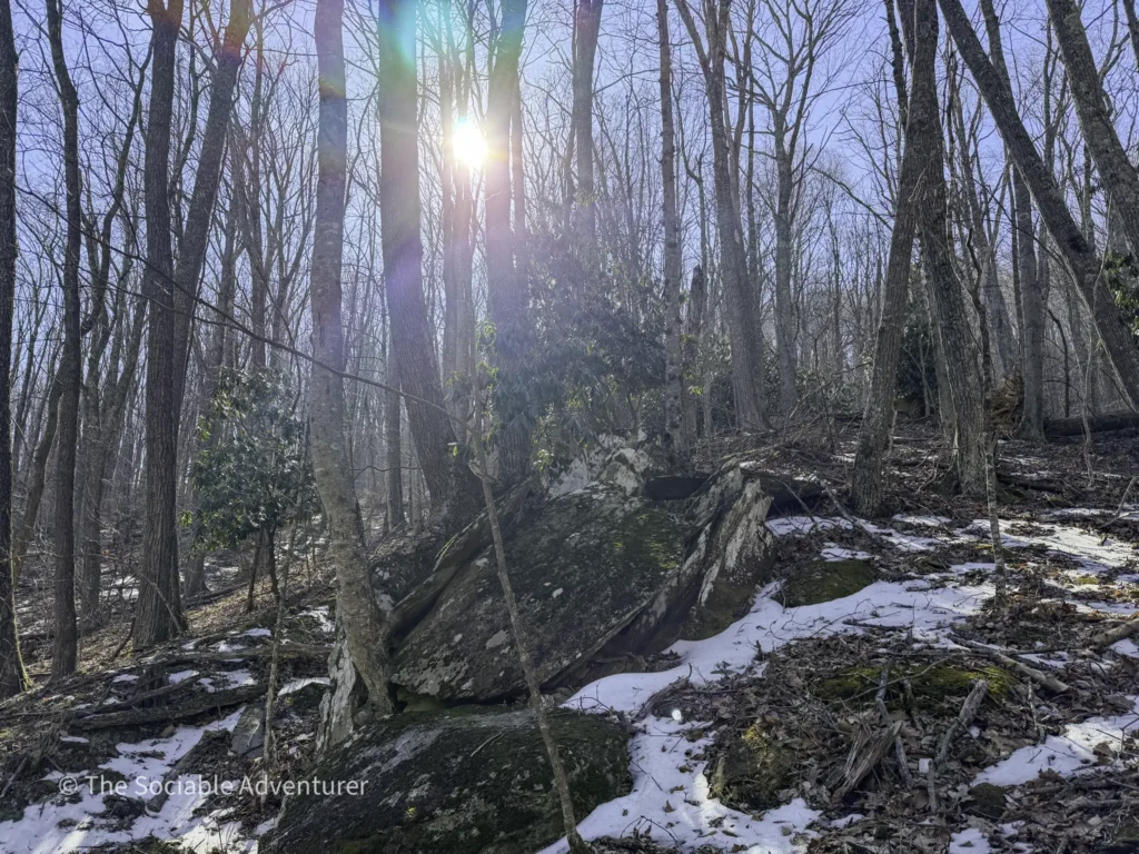
- Wildlife sightings are common throughout the hike — keep your eyes (and ears) open as you walk, especially in the quieter sections of the trail.
The Most Rewarding of the Three
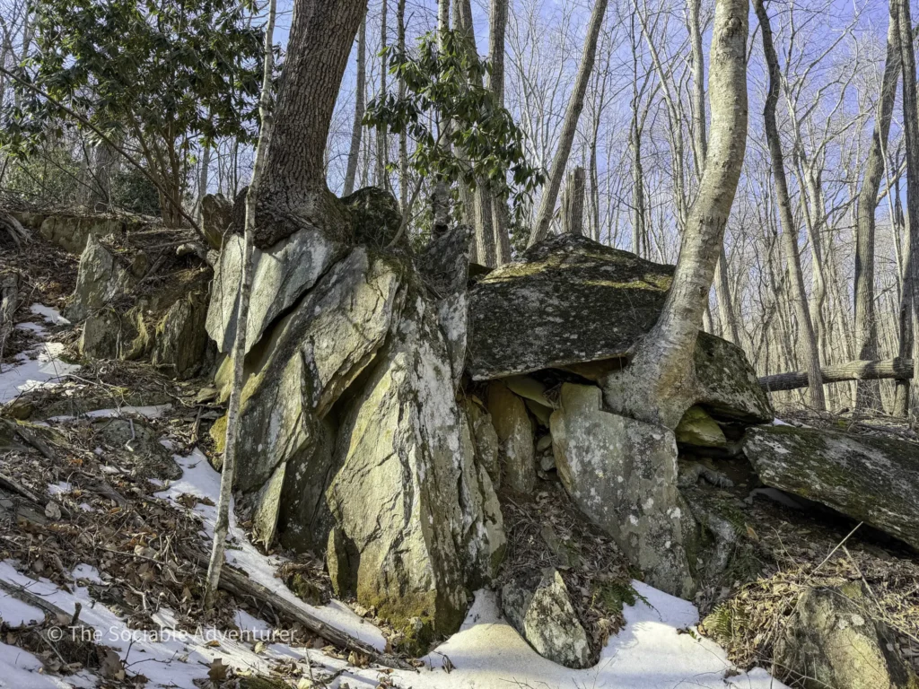
What makes Trail C stand out among the park’s three main trails is just how much it packs into a short distance. The loop format means you’re never retracing your steps. The creek and the rhododendron give the walk visual interest. The midpoint bridge gives you flexibility. And the elevation changes give you enough of a workout to feel like you’ve earned a sit on a bench afterward.
For a longer outing, pair Trail C with Trail A for the approach and Trail B for the connector. You’ll cover a really nice cross-section of the park’s expansion area in under a couple of miles.
Good to Know
- Trail length: 1.04-mile loop
- Difficulty: Moderate — rolling elevation changes throughout
- Surface: Mix of gravel and natural surface
- Markers: Red blazes
- Midpoint bridge allows for a shorter loop option
- Access: Only reachable by hiking part of Trail A first
- Best season: Late spring and early summer for rhododendron blooms; fall for foliage
- Family- and dog-friendly — leashed dogs are welcome
- Keep your eyes open for wildlife along the trail
A High Country Favorite
Trail C is the kind of hike that earns its place as the standout trail at Ashe County Park. It’s just long enough to feel like a real walk in the woods, just challenging enough to feel earned, and just varied enough to keep things interesting from start to finish. Whether you’re a regular at the park looking for the most rewarding loop or a first-time visitor wondering which trail to prioritize, Trail C is the answer.
Resources
Resources

Your Complete Guide to Hiking Trails at Elk Knob State Park
Elk Knob State Park is one of North Carolina’s most rewarding mountain destinations — a 4,400-…

A Complete Guide to the Trails at Carolina Beach State Park
Tucked along the Cape Fear River on Pleasure Island, Carolina Beach State Park is one of southeaster…

The Complete Guide to Hiking Trails in Lansing, NC
Set in the rolling hills of Ashe County, just a stone’s throw from the Virginia and Tennessee …

Exploring Ashe County Park: A Hiker’s Guide to North Carolina’s Mountain Gem
If you’re searching for the best hiking trails at Ashe County Park in North Carolina, you̵…

Mountain Masterpieces: A Guide to the Ben Long Frescoes of Ashe County
In the quiet corners of Ashe County, where the Blue Ridge Mountains meet peaceful valleys, thereR…

Granite, Grunts, and Glory: A Day on the Stone Mountain Loop Trail
The Stone Mountain Loop Trail is the signature hike at Stone Mountain State Park in North Carolina —…