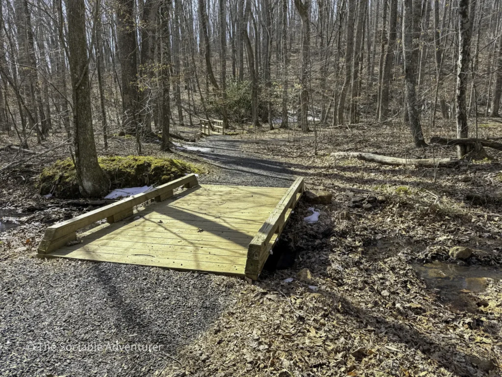
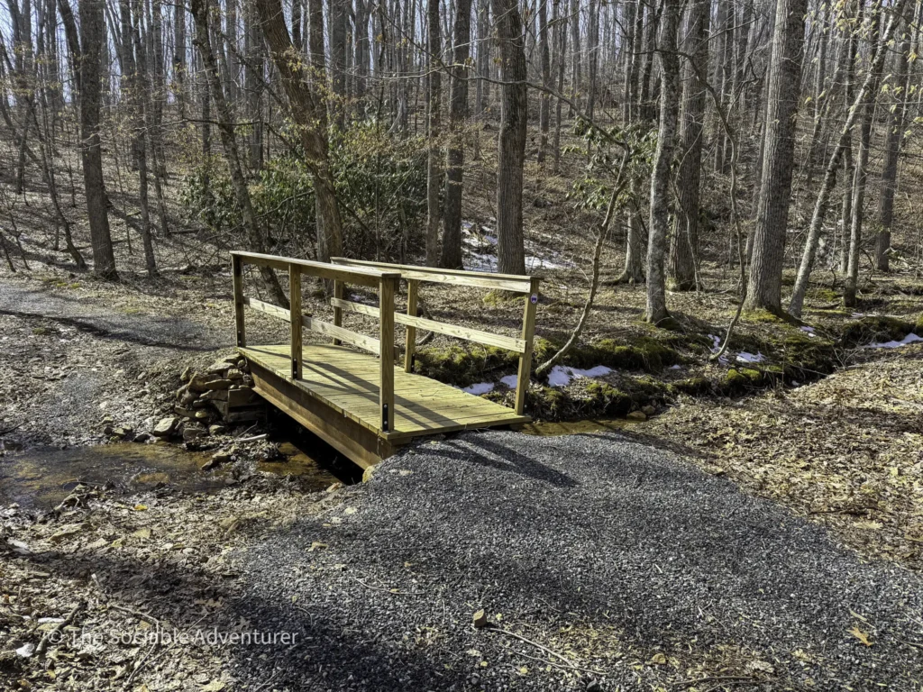
If you’re looking for a quiet, accessible hike inside Ashe County Park, Trail A is a great place to start. Located in the park’s expansion area, this 0.8-mile gravel path winds through a hardwood forest, crosses a small creek on two wooden bridges, and serves as the only access point to the park’s other two main hiking trails. It’s a short, scenic walk that delivers more than you’d expect in under a mile. Be sure to check out the YouTube video and pictures below to get a feel for the trail before you go — or to relive the visit after.
Getting to the Trailhead
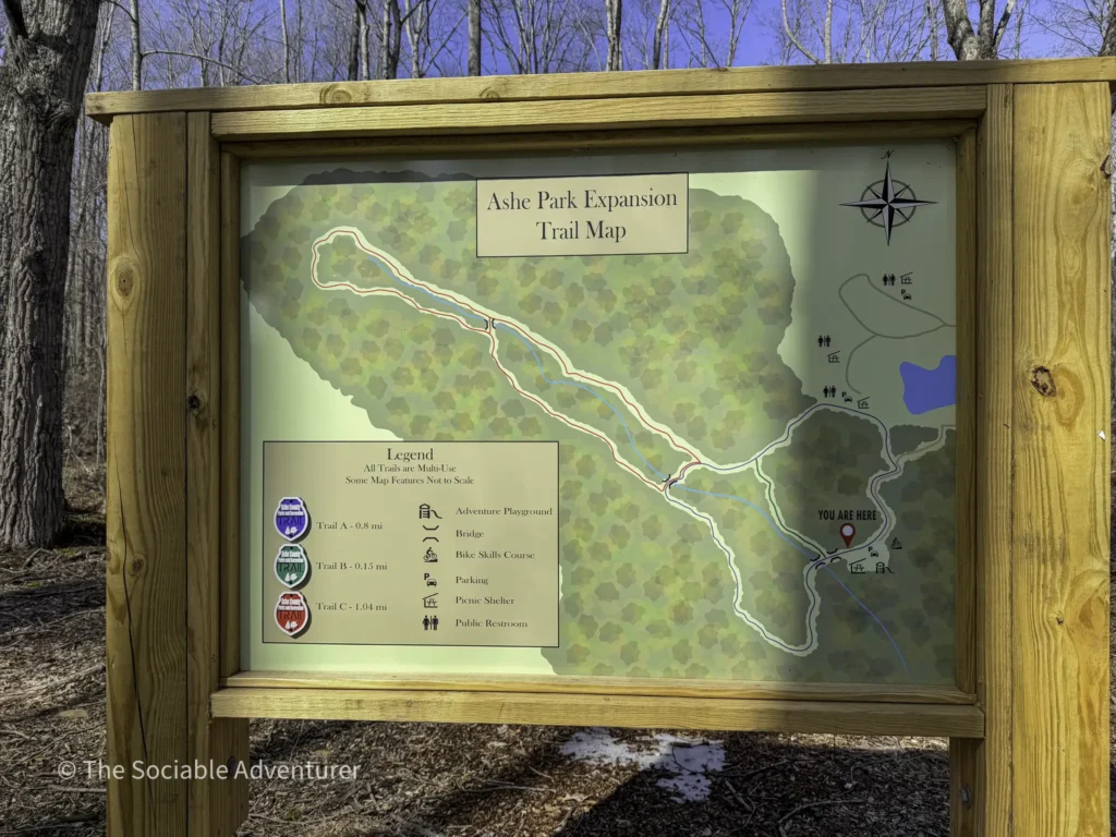
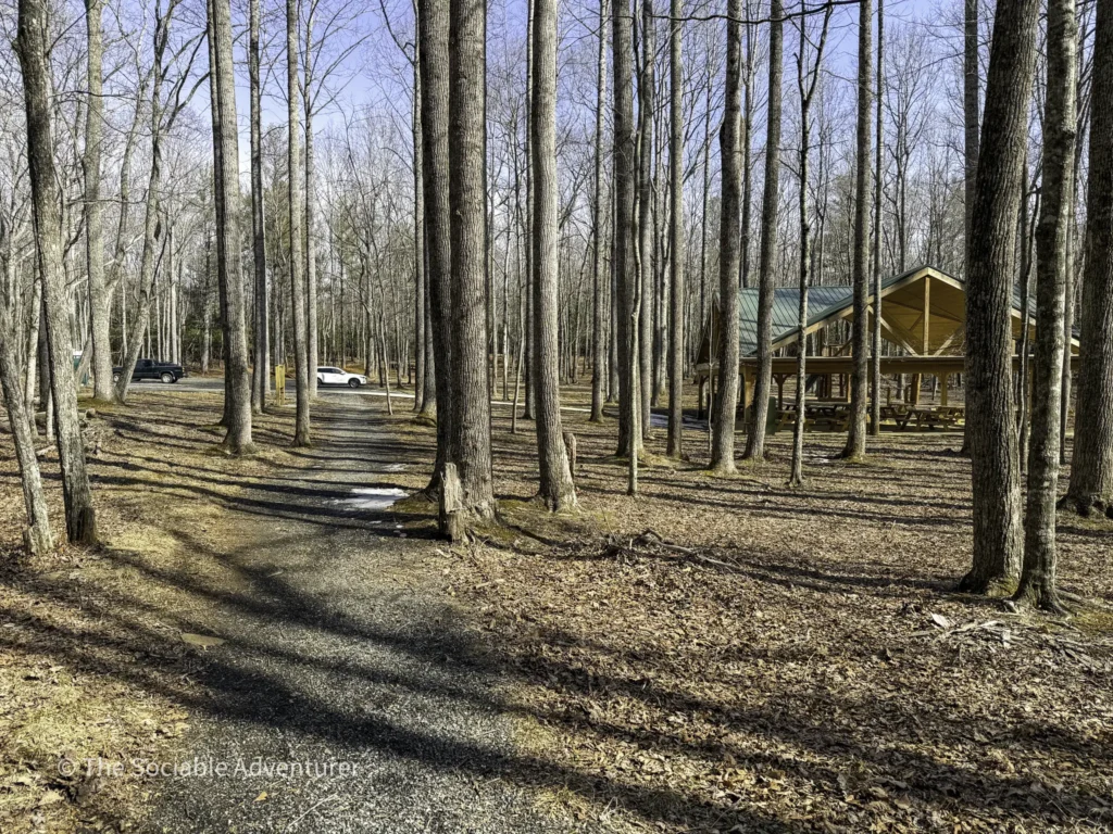
Trail A is located in Ashe County Park’s expansion area, which has its own dedicated entrance just next to the main park entrance. After turning in, a short gravel road leads to a parking lot beside the playground and covered picnic area. A trail map posted near the path to the picnic area shows all three of the park’s main hiking trails — Trails A, B, and C — making it easy to plan your route before you head out.
Trails B and C are only accessible by hiking part of Trail A, so this one is your starting point regardless of which trail you’re really after.
What to Expect on the Trail
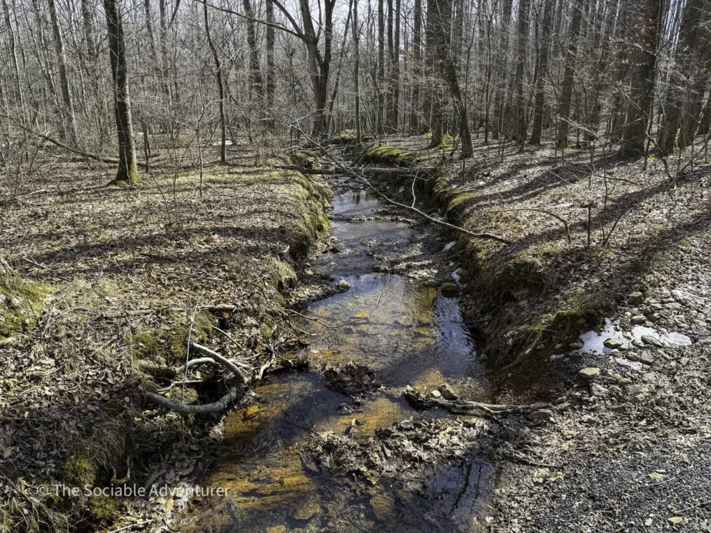
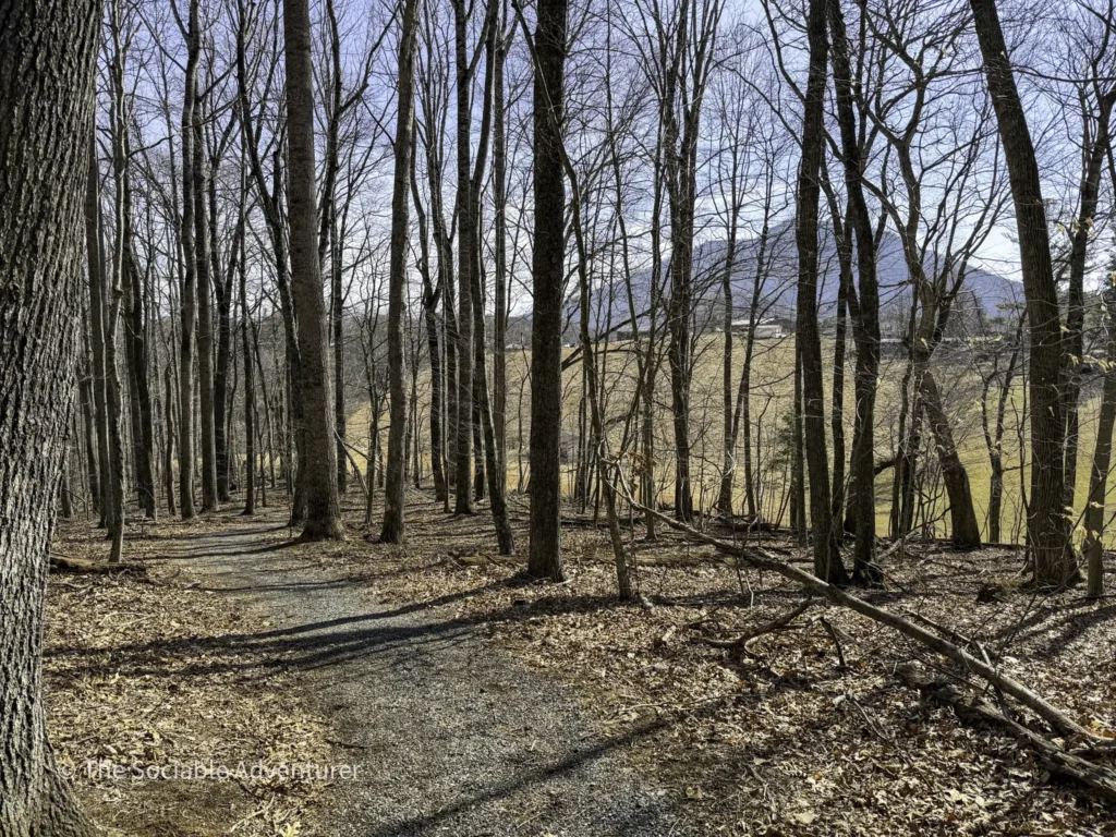
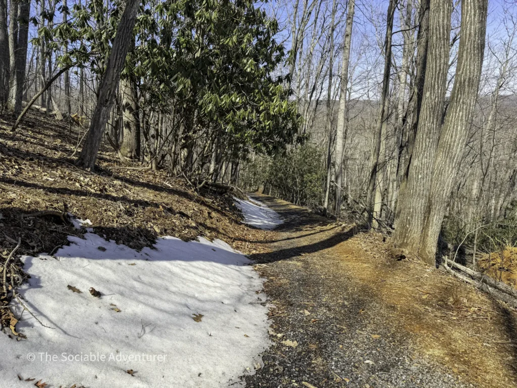
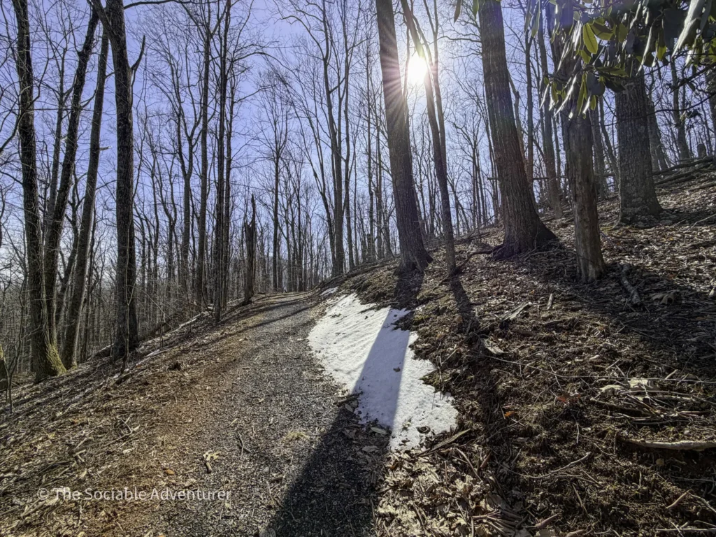
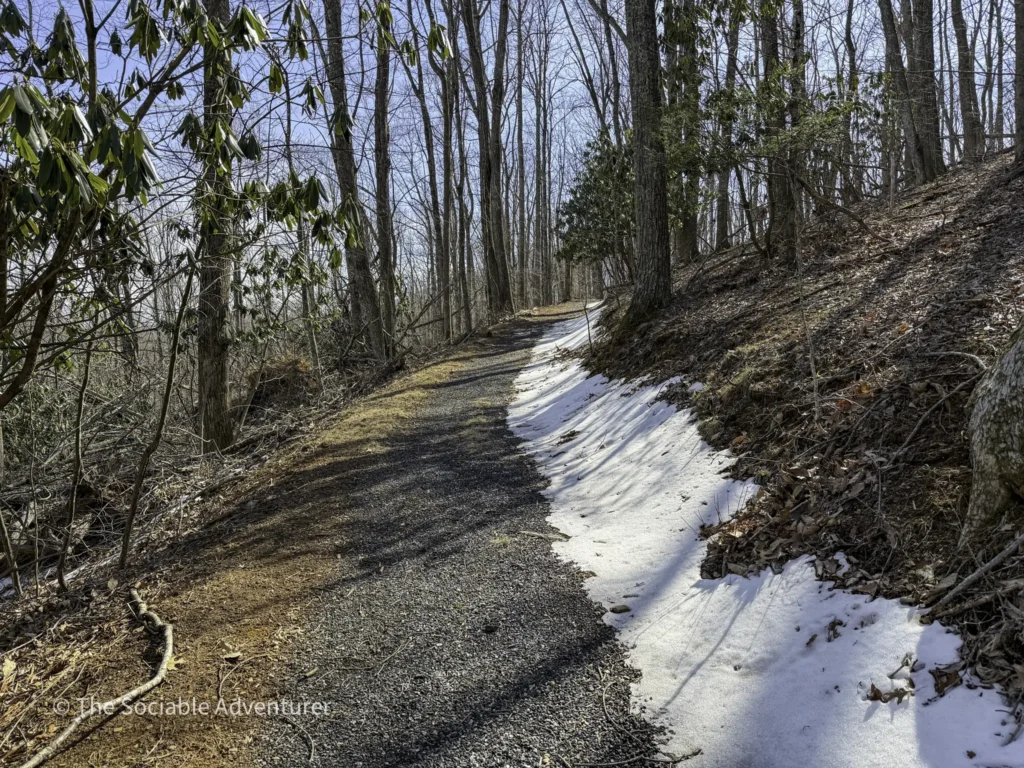
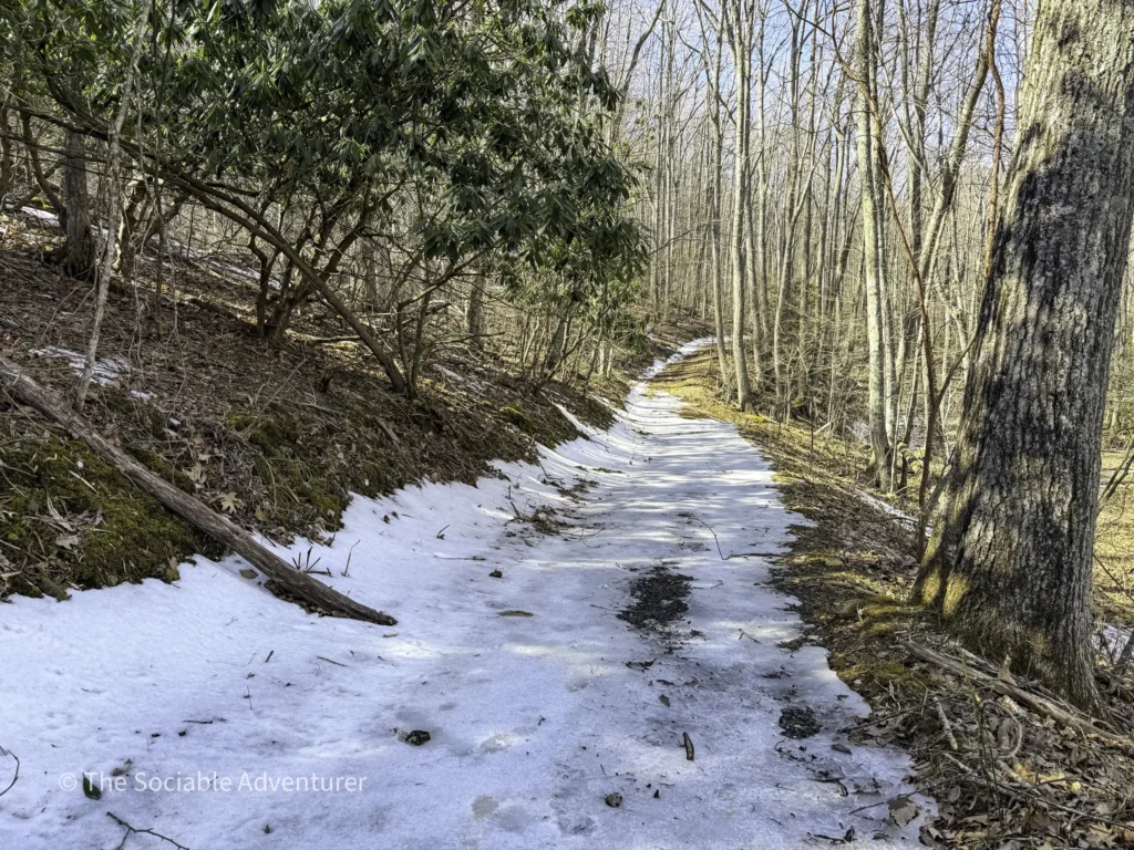
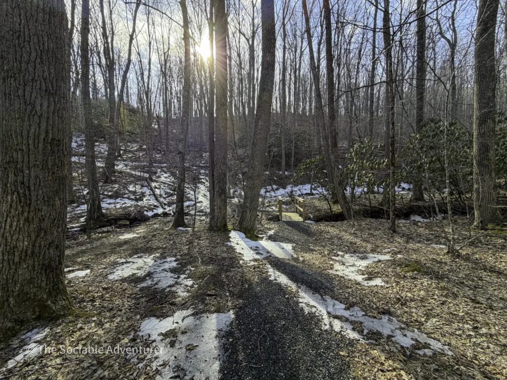
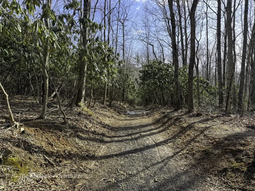
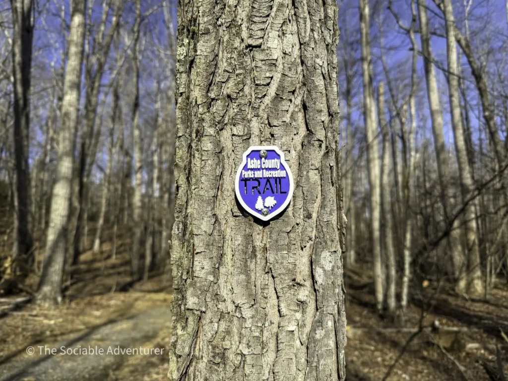
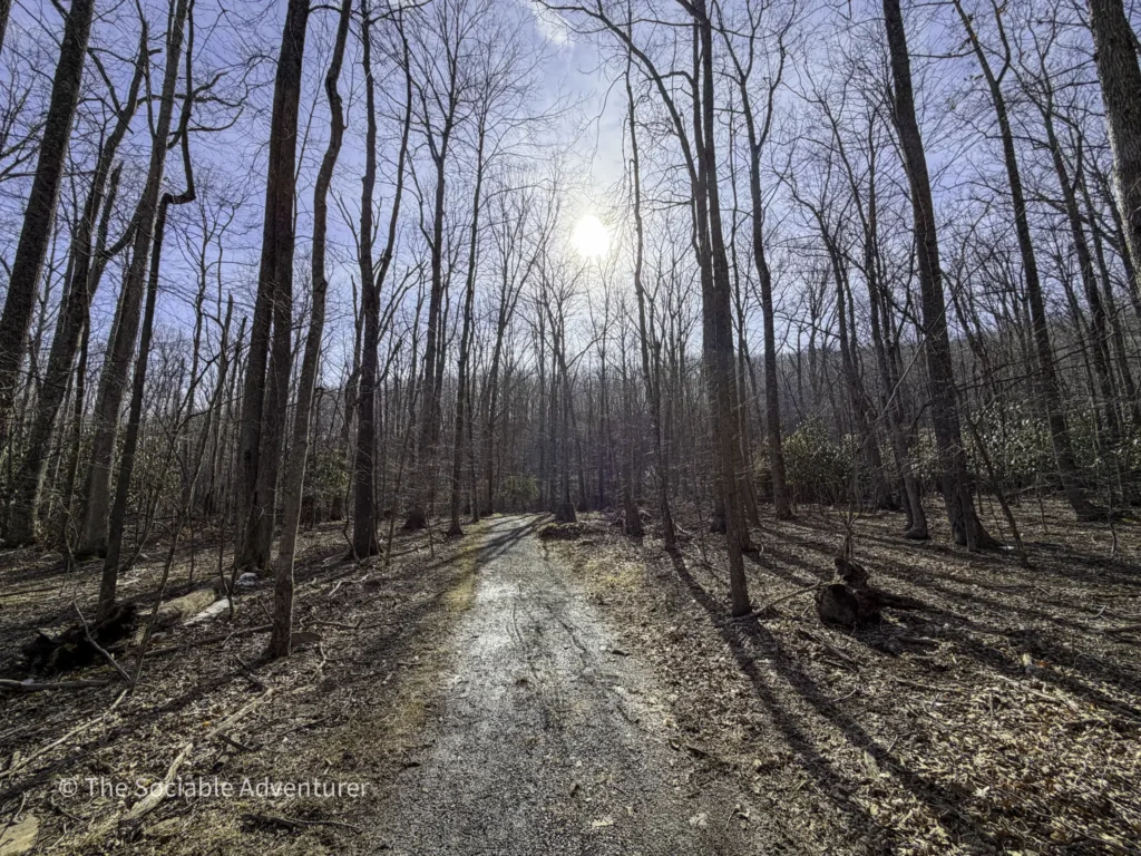
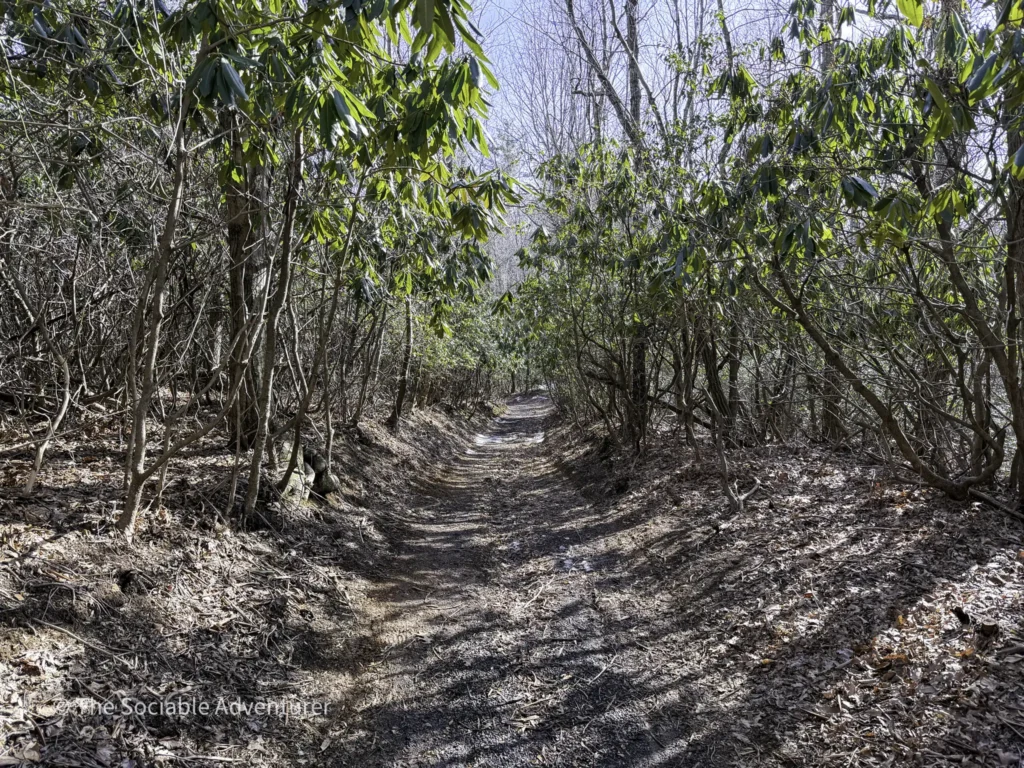
Trail A is marked with blue trail markers and is a 0.8-mile loop trail. The path is gravel for most of its length and crosses a small creek twice — both crossings have well-built wooden bridges, so you’ll stay dry through both. The trail rolls through a hardwood forest with steady but manageable elevation changes; part of the trail has a sustained incline, but most of it is flat or gently descending.
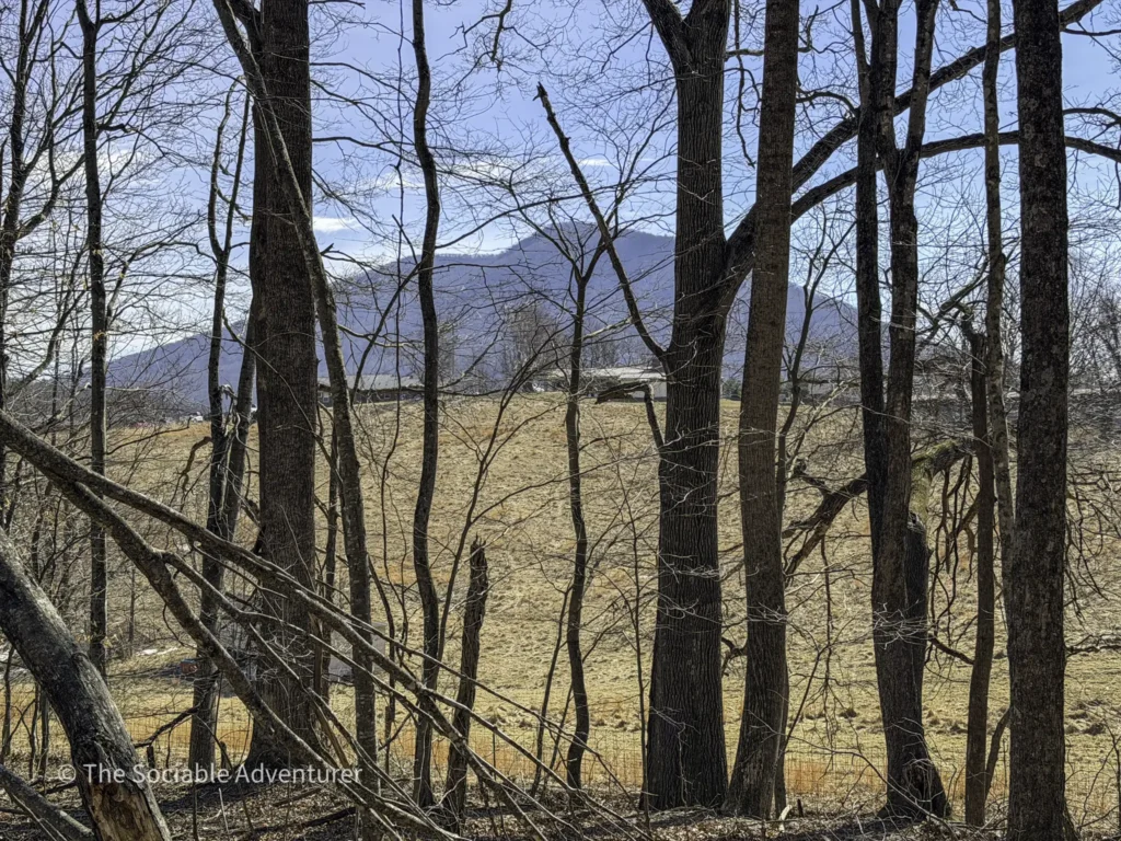
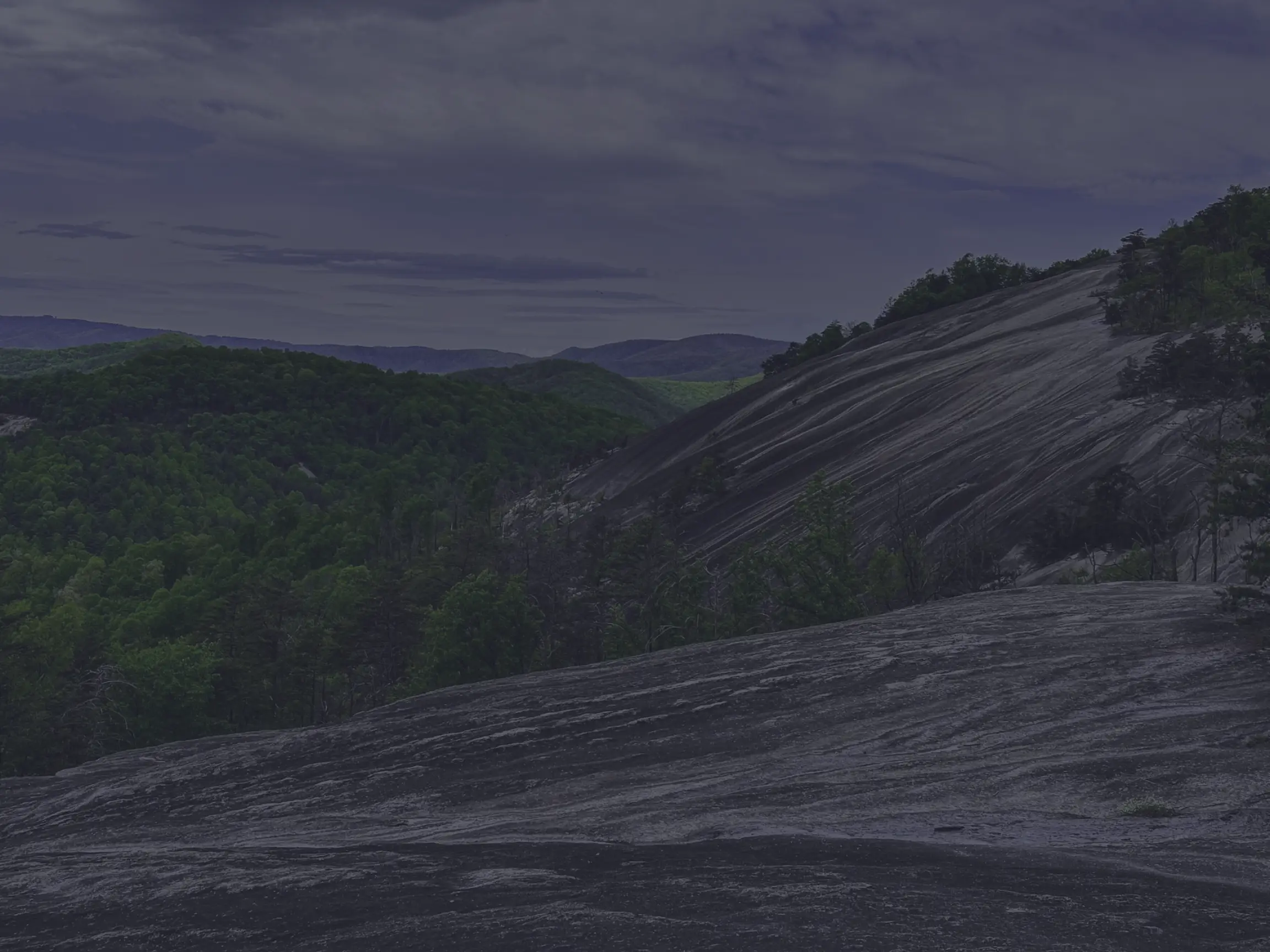
One of the best surprises on the trail comes during the winter months, when the leaves are off the trees, and you’ll catch beautiful long-range views of a nearby mountain through the trees — we’re pretty sure it’s Mount Jefferson. It’s a nice reminder that mountain hikes have their own kind of magic in every season.
At the end of the trail, you’ll need to walk back down the short gravel road to return to the parking lot. Be sure to stay to the side when cars are passing.
Extending Your Hike
If you’re looking for a longer hike than Trail A alone can offer, we’d recommend pairing it with Trail C for a fuller loop through the park’s expansion area. Together, they make for a really nice mountain morning, with more elevation, more forest, and more time outdoors. Trail B is also accessible from Trail A if you’re looking for additional options.
Good to Know
- Trail length: 0.8 miles end-to-end
- Difficulty: Moderate — short, with one sustained incline but mostly flat or downhill
- Surface: Gravel
- Markers: Blue
- Two creek crossings over well-built wooden bridges
- Family- and dog-friendly — leashed dogs are welcome
- Best months for views: Winter months offer the best long-range views of nearby mountains
- Parking at the Ashe Park Expansion entrance, with restrooms and a covered picnic area nearby
- Gateway to Trails B and C — both are only accessible by hiking part of Trail A
A Great Starter Hike
Trail A is the kind of hike that doesn’t need to be flashy to be worth your time. It’s short, well-marked, beautifully maintained, and just challenging enough to feel like a real walk in the woods. Pair it with Trail C for a longer outing, or take it solo as a quick midday stretch. Either way, it’s a worthwhile stop on any visit to Ashe County Park.
Resources
Location

Your Complete Guide to Hiking Trails at Elk Knob State Park
Elk Knob State Park is one of North Carolina’s most rewarding mountain destinations — a 4,400-…

A Complete Guide to the Trails at Carolina Beach State Park
Tucked along the Cape Fear River on Pleasure Island, Carolina Beach State Park is one of southeaster…

The Complete Guide to Hiking Trails in Lansing, NC
Set in the rolling hills of Ashe County, just a stone’s throw from the Virginia and Tennessee …

Exploring Ashe County Park: A Hiker’s Guide to North Carolina’s Mountain Gem
If you’re searching for the best hiking trails at Ashe County Park in North Carolina, you̵…

Mountain Masterpieces: A Guide to the Ben Long Frescoes of Ashe County
In the quiet corners of Ashe County, where the Blue Ridge Mountains meet peaceful valleys, thereR…
Granite, Grunts, and Glory: A Day on the Stone Mountain Loop Trail
The Stone Mountain Loop Trail is the signature hike at Stone Mountain State Park in North Carolina —…