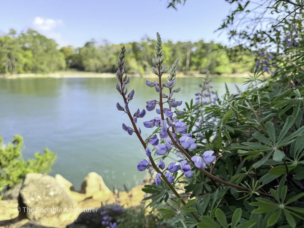
Tucked along the Cape Fear River on Pleasure Island, Carolina Beach State Park is one of southeastern North Carolina’s most diverse outdoor destinations. With nearly nine miles of hiking spread across nine distinct trails, the park offers something for every kind of visitor—whether you’re looking for a quick walk among carnivorous plants, a scenic ridge hike to a historic sand dune, or a peaceful stroll through a tidal swamp.
This guide breaks down each of the park’s trails, alphabetized for easy reference, so you can plan your visit with confidence. Click any trail name to explore its full guide, including history, highlights, and trailhead details.
Table of Contents
At a Glance
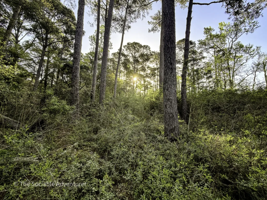
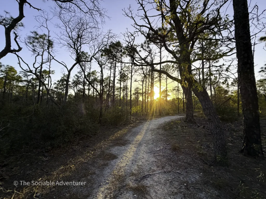
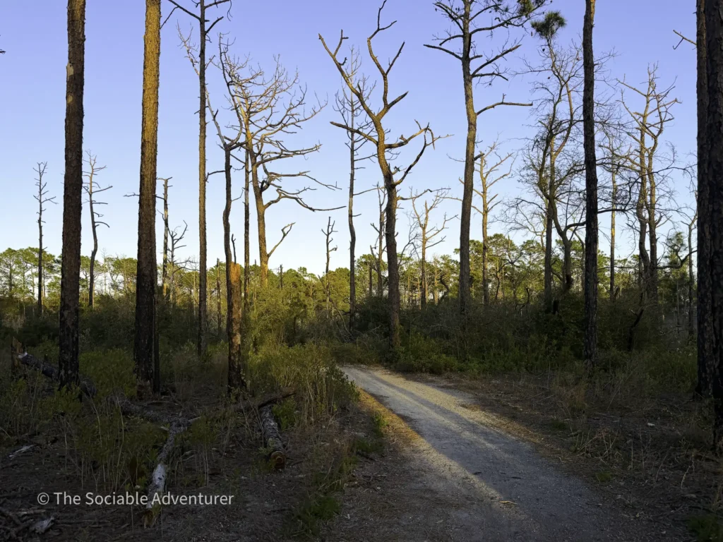
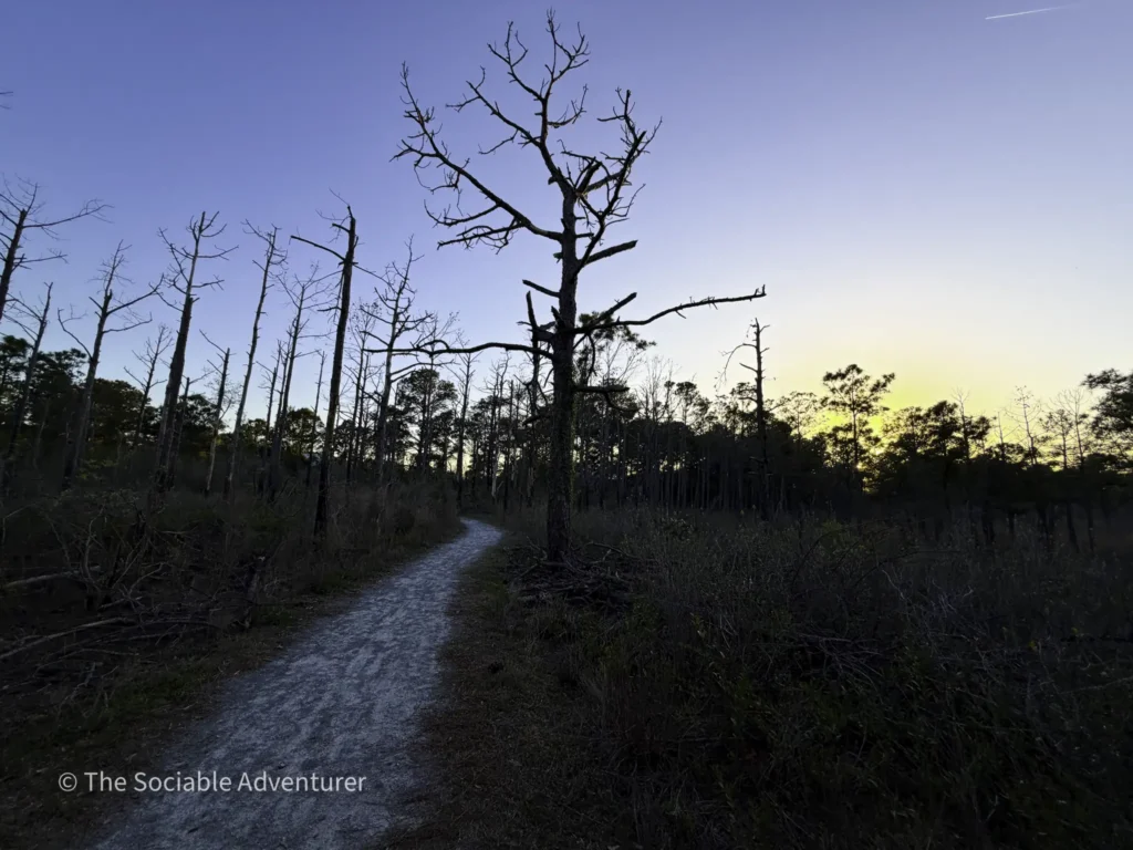
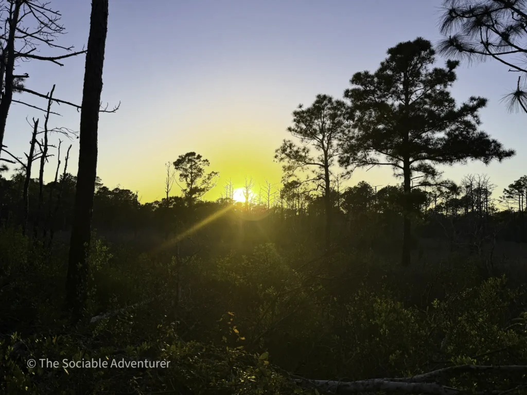
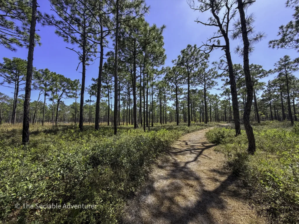
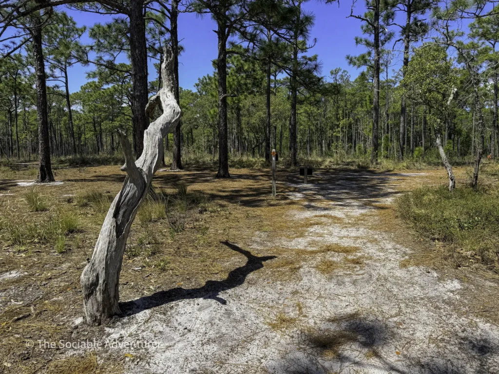
Most of the park’s trails are flat and easy to walk, with sandy paths, some boardwalks, and plenty of shade from longleaf pines, live oaks, and coastal hardwoods. The Flytrap Trail and the Fitness Trail are both wheelchair-accessible. Many of the trails connect, so you can choose a short quarter-mile loop or plan a longer hike that takes half a day.
The Trails
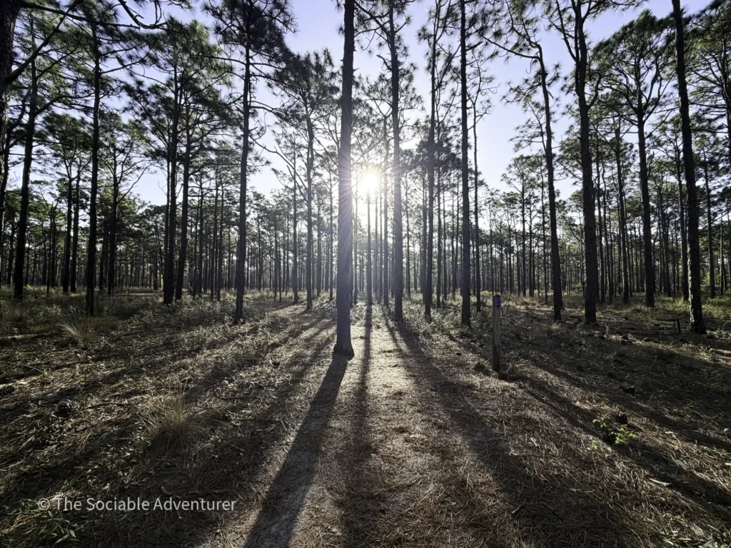
Campground Trail
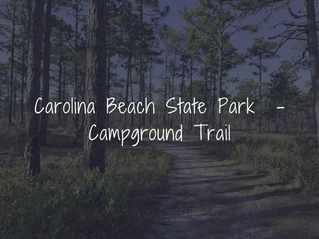
A 1-mile (one-way) connector trail marked with blue circles, the Campground Trail links the Visitor Center to the campground loops while winding through a beautiful coastal fringe sandhill forest. It briefly overlaps with the Sugarloaf Trail and can easily be turned into a loop by walking around the campground area on the return.
Best for: Campers, easy walks, families Distance: 1 mile (one-way) Difficulty: Easy
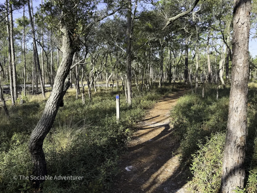
Fitness Trail
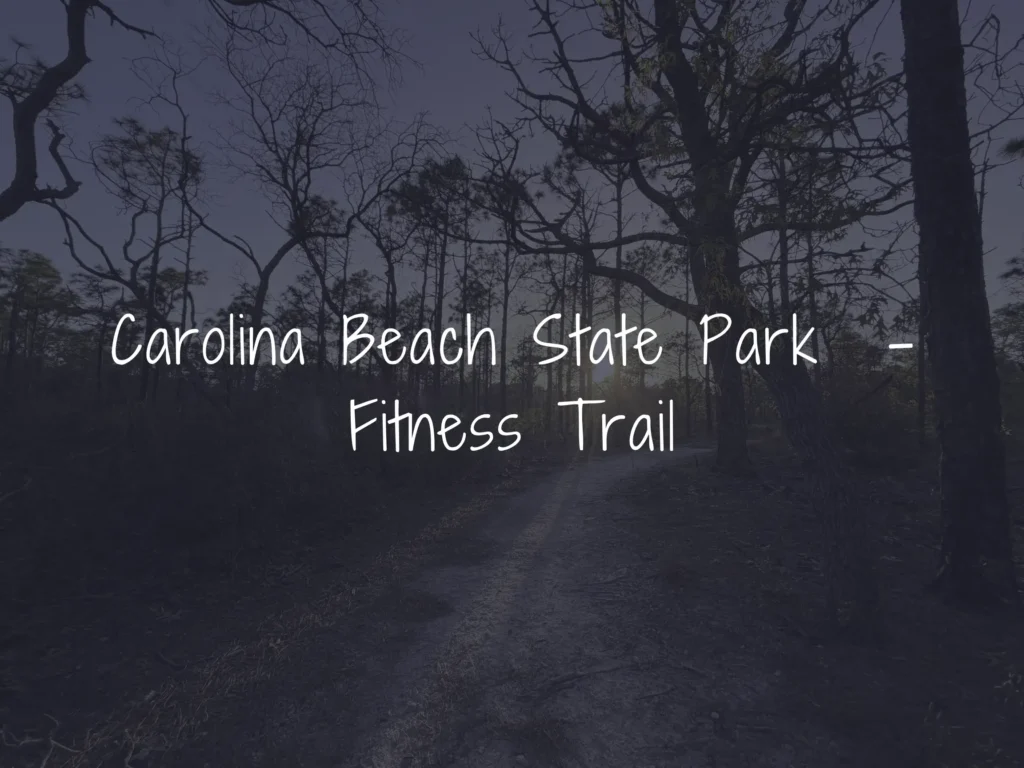
The only trail located outside the main park gates, the 1-mile Fitness Trail features a packed sandy-gravel surface, exercise stations along the loop, and is open to bicycles. Parking is available off 7th Street near the Carolina Beach Recreation Center. Some fitness stations have been observed in poor condition, so use caution when using the equipment.
Best for: Walkers, light workouts, cyclists Distance: 1-mile loop Difficulty: Easy
Flytrap Trail
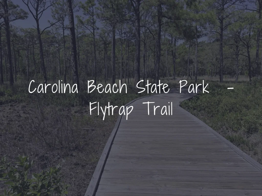
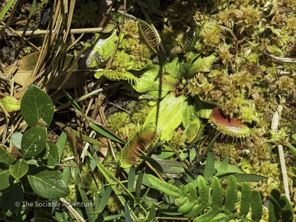
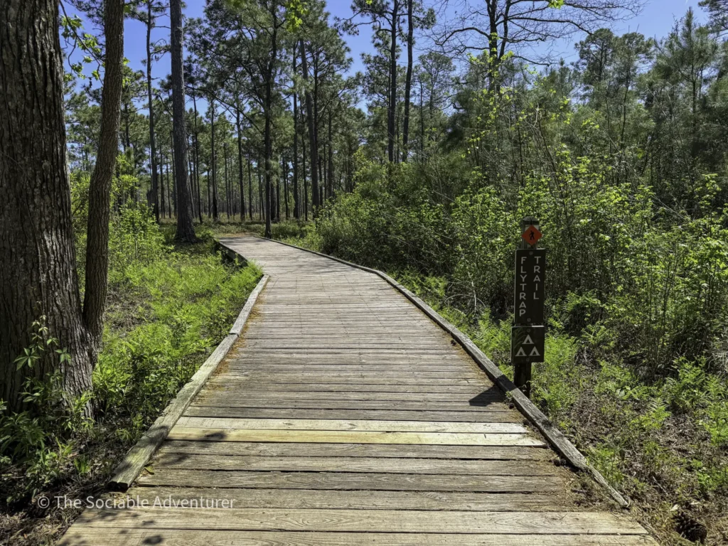
A short, wheelchair-accessible 0.5-mile loop that offers a fascinating glimpse into one of North Carolina’s most unique ecosystems. The trail winds through pocosin wetlands, longleaf pine forests, and wiregrass savanna, where hikers can spot rare carnivorous plants—including the famous Venus flytrap—growing in their native habitat.
Best for: First-time visitors, families, nature lovers Distance: 0.5-mile loop Difficulty: Easy
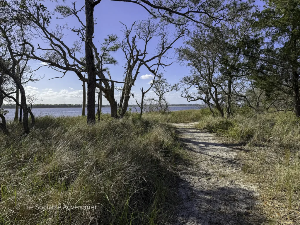
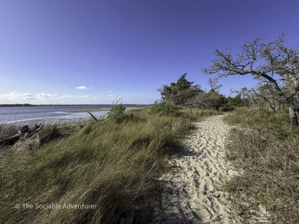
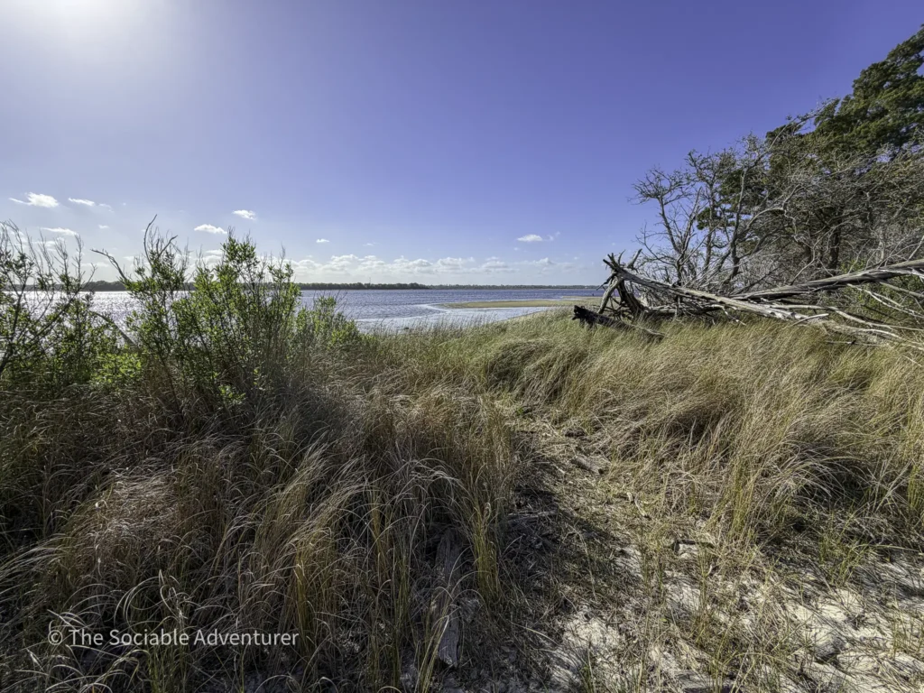
Oak Toe Trail
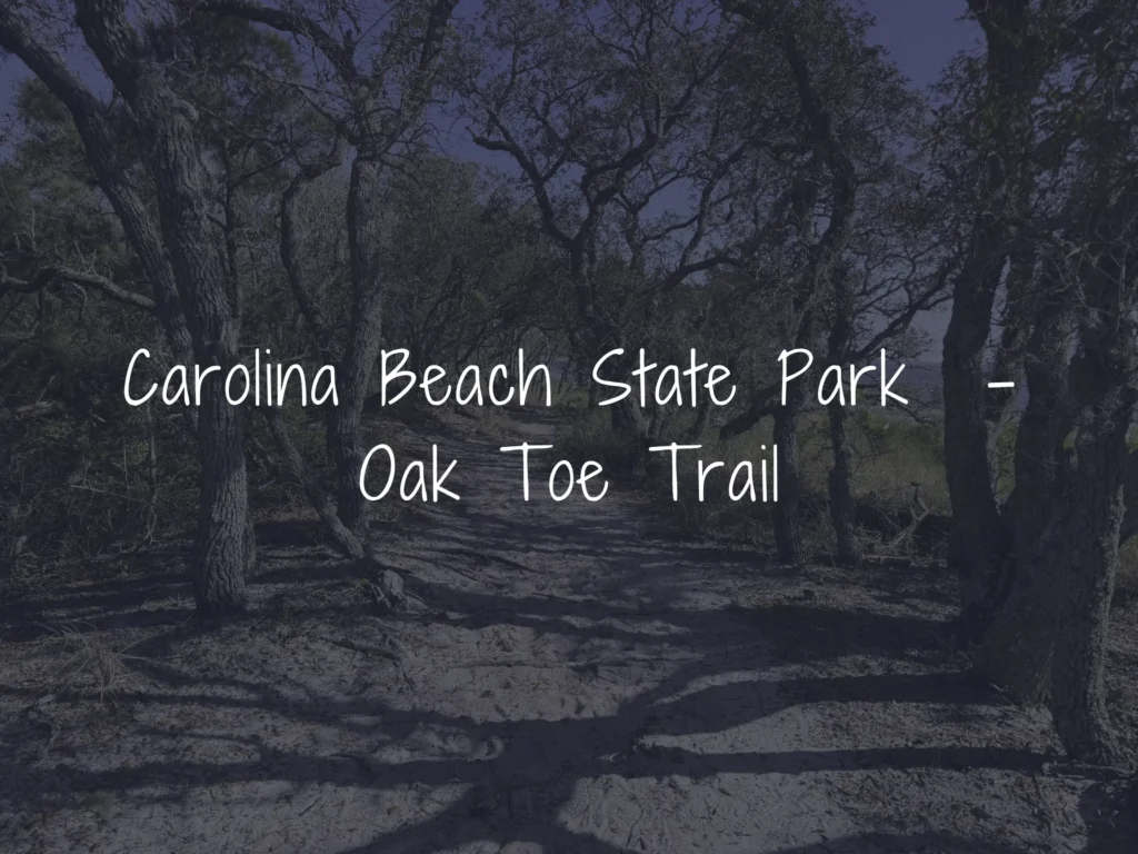
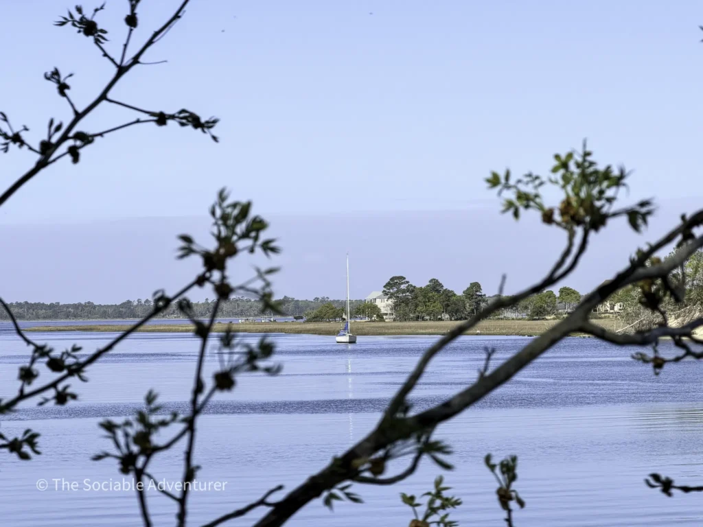
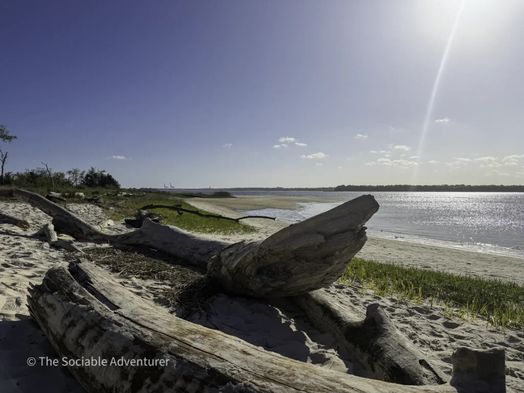
A short 0.25-mile spur trail branching off the Sugarloaf Trail, leading to a peaceful marsh overlook with scenic views of the Cape Fear River and surrounding brackish marsh. From the overlook, hikers may also spot large cargo ships heading to or from the nearby Port of Wilmington.
Best for: Quick scenic detours, marsh ecology Distance: 0.25 miles (one-way) Difficulty: Easy
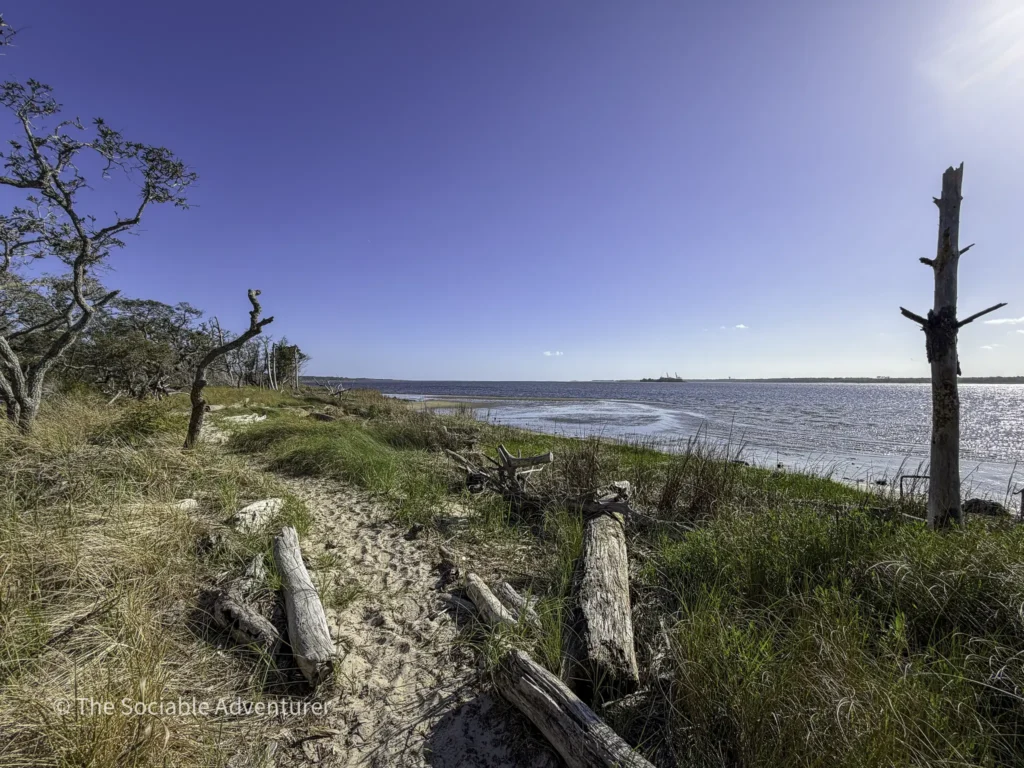
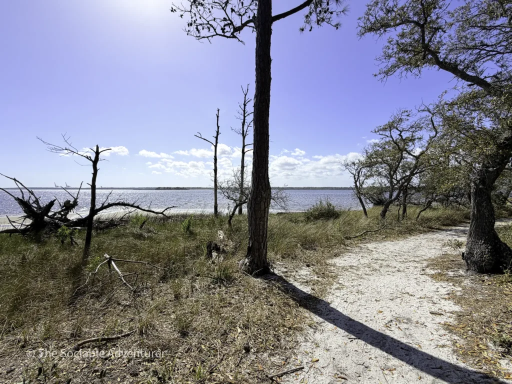
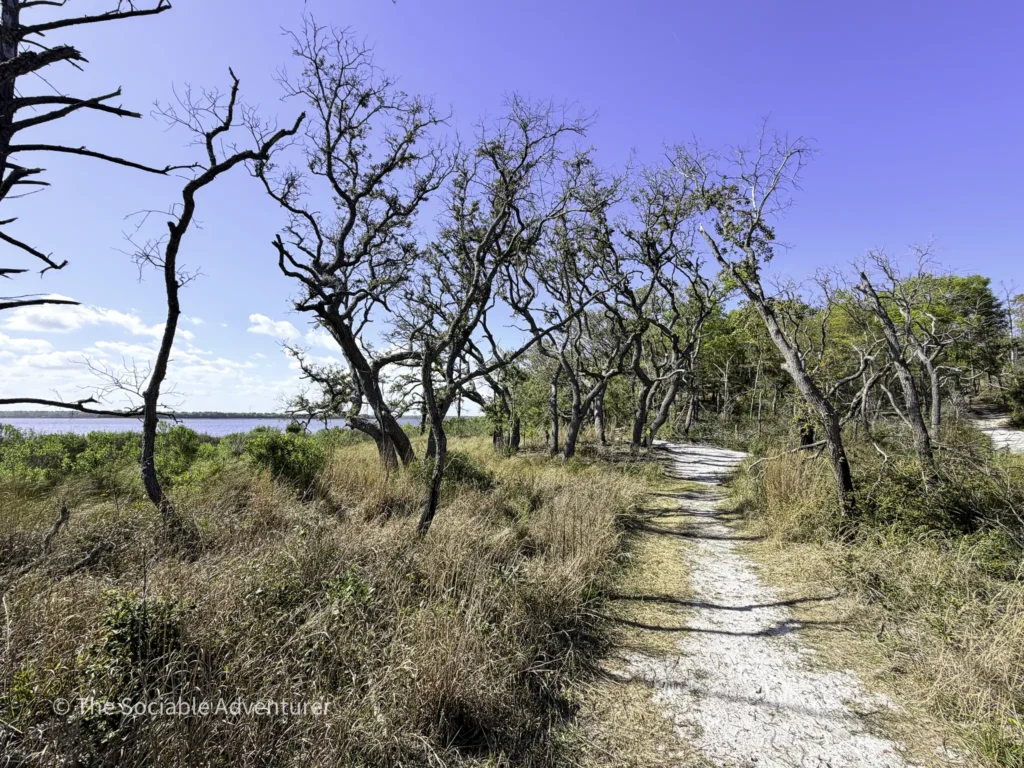
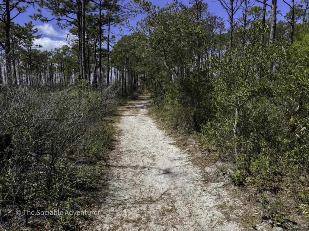
Sand Live Oak Trail
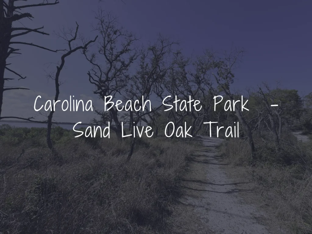
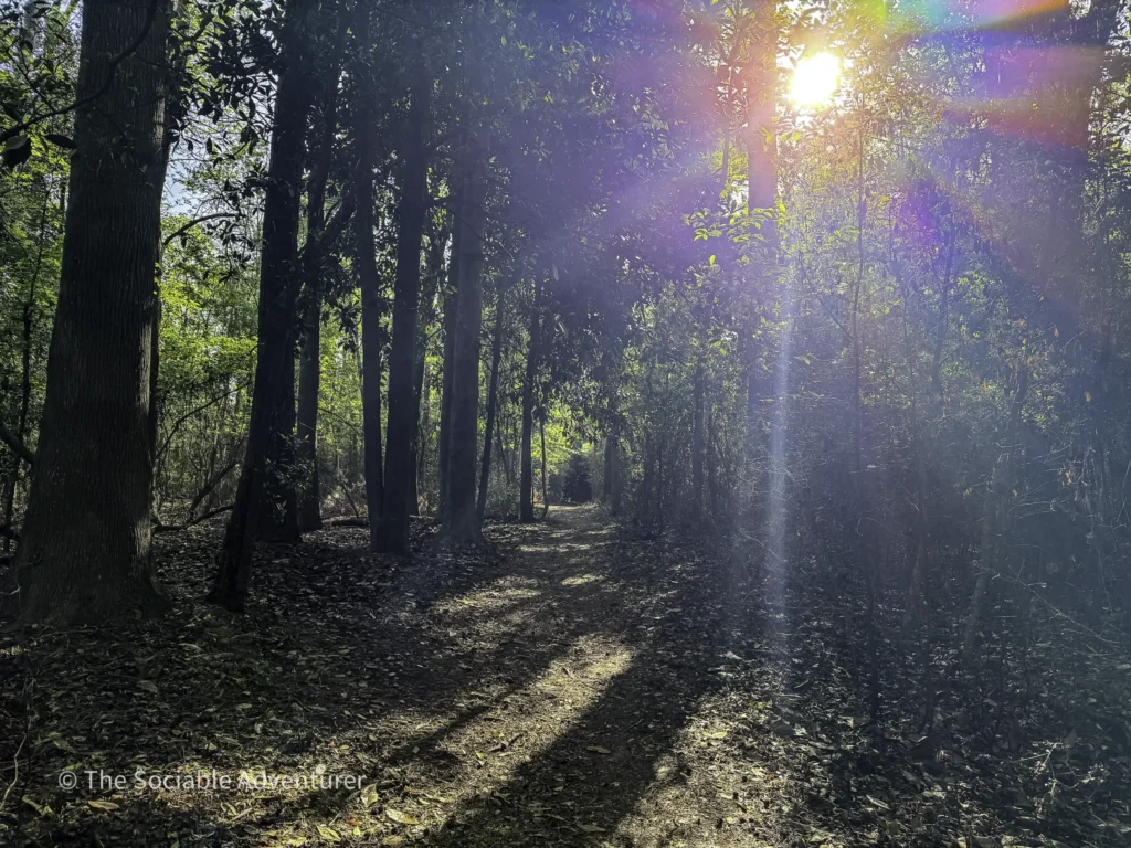
An easy 1.5-mile quasi-loop that branches off the Sugarloaf Trail and ends at the Sugarloaf Dune. Known for being one of the least-visited corners of the park, the trail meanders along the Cape Fear River through an ancient sand dune forest, with several spots offering beautiful river views.
Best for: Solitude seekers, ecology buffs Distance: 1.5-mile quasi-loop Difficulty: Easy (with the most elevation gain in the park)

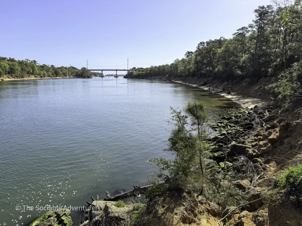
Snow’s Cut Trail

A 0.75-mile trail that meanders alongside Snow’s Cut—a man-made channel completed in 1931 that forms part of the Intracoastal Waterway. Winding through dense pine-hardwood forest with picturesque waterway views, the trail also incorporates the kid-friendly TRACK Trail, with brochures available at the trailhead.
Best for: Families, history lovers, easy waterway views Distance: 0.75 miles Difficulty: Easy
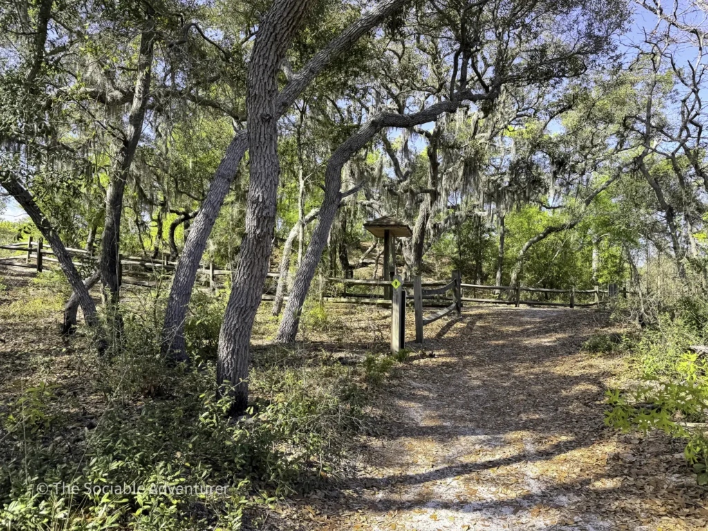
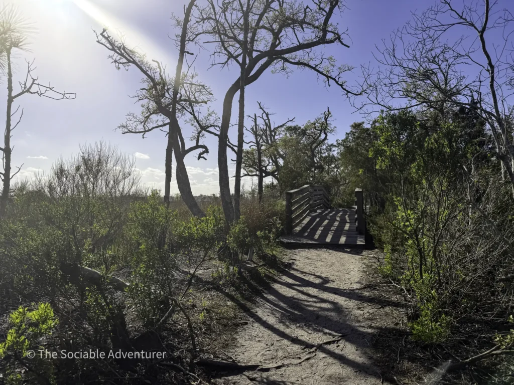
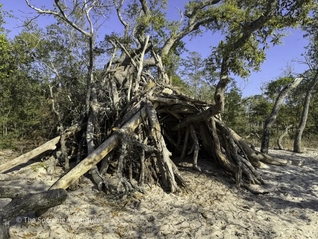
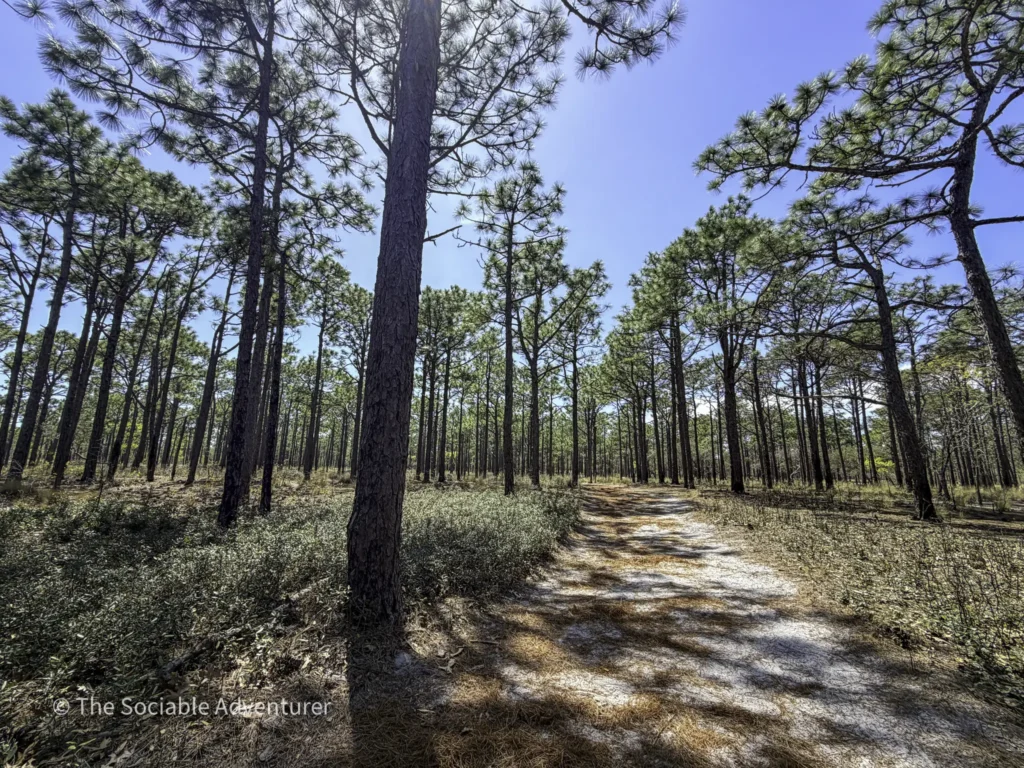
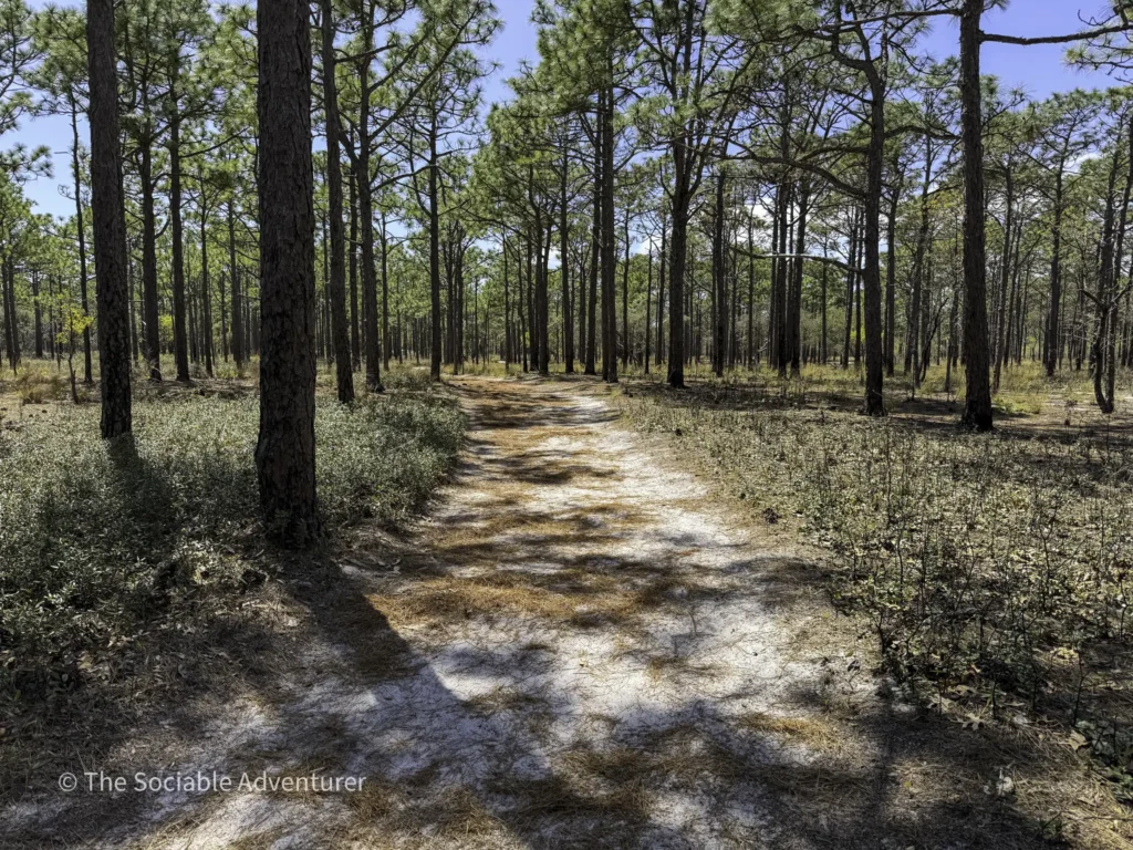
Sugarloaf Trail
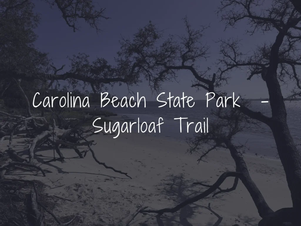
The park’s signature trail and one named to Men’s Journal’s “15 Best Running Trails in America.” This 3-mile loop winds through coastal forests, tidal swamps, and three distinctive limesink ponds, leading to the iconic 50-foot Sugarloaf Dune—a navigational landmark since 1663 and a site of major Native American and Civil War history.
Best for: Comprehensive park experience, history, scenic views Distance: 3-mile loop Difficulty: Easy
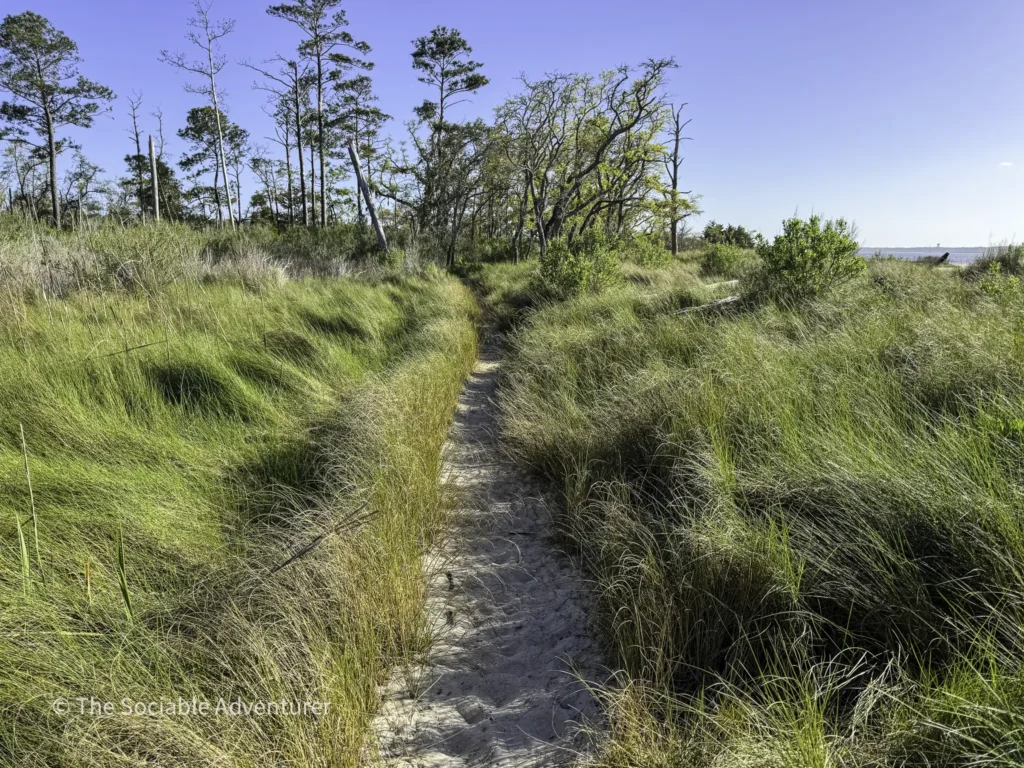
Swamp Trail
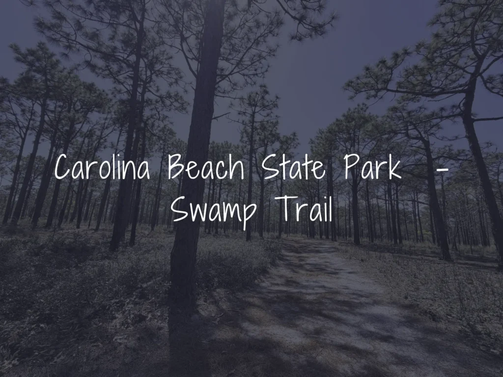
A quiet, less-traveled 0.75-mile trail that winds through a tidal cypress-gum swamp and brackish marsh, offering an immersive look at the park’s distinctive wetland ecosystems. Both ends of the trail connect to different parts of the Sugarloaf Trail, and it’s also accessible from the Flytrap Trail.
Best for: Wetland ecology, quiet hikes Distance: 0.75 miles (one-way) Difficulty: Easy

Tips for Hiking the Park
Most of the park’s trails are easy and well-marked, but a few practical tips can make your visit more enjoyable. Bring bug spray, especially in the warmer months—the park’s wetland areas can be heavy with mosquitoes. Wear sturdy shoes for sandy or root-laced sections, stay on marked paths to protect fragile carnivorous plants and other native species, and remember that Venus flytraps are protected by state law in North Carolina, where poaching them is a felony. Leashed dogs are welcome on most trails.
The park is open daily from 8 a.m. to 5 p.m. (with extended hours in spring and summer), and there is no entry fee for day use.
Plan Your Visit
Whether you’re chasing carnivorous plants on the Flytrap Trail, climbing to the top of Sugarloaf Dune, or finding solitude on the Sand Live Oak Trail, Carolina Beach State Park offers a remarkable variety of hiking experiences in a relatively compact footprint. With easy terrain, rich history, and rare ecosystems, it’s an ideal destination for a half-day adventure or a full weekend of exploration.
Which trail at Carolina Beach State Park is your favorite? Share your experiences in the comments below or tag us in your hiking photos!

Your Complete Guide to Hiking Trails at Elk Knob State Park
Elk Knob State Park is one of North Carolina’s most rewarding mountain destinations — a 4,400-…

A Complete Guide to the Trails at Carolina Beach State Park
Tucked along the Cape Fear River on Pleasure Island, Carolina Beach State Park is one of southeaster…

The Complete Guide to Hiking Trails in Lansing, NC
Set in the rolling hills of Ashe County, just a stone’s throw from the Virginia and Tennessee …

Exploring Ashe County Park: A Hiker’s Guide to North Carolina’s Mountain Gem
If you’re searching for the best hiking trails at Ashe County Park in North Carolina, you̵…

Mountain Masterpieces: A Guide to the Ben Long Frescoes of Ashe County
In the quiet corners of Ashe County, where the Blue Ridge Mountains meet peaceful valleys, thereR…

Granite, Grunts, and Glory: A Day on the Stone Mountain Loop Trail
The Stone Mountain Loop Trail is the signature hike at Stone Mountain State Park in North Carolina —…